Transport Functions
Port
Road
Hub Profile
Place type
Urban district
Region
Victoria
Population
1,722
Time zone
Australia/Melbourne
Elevation
6 m
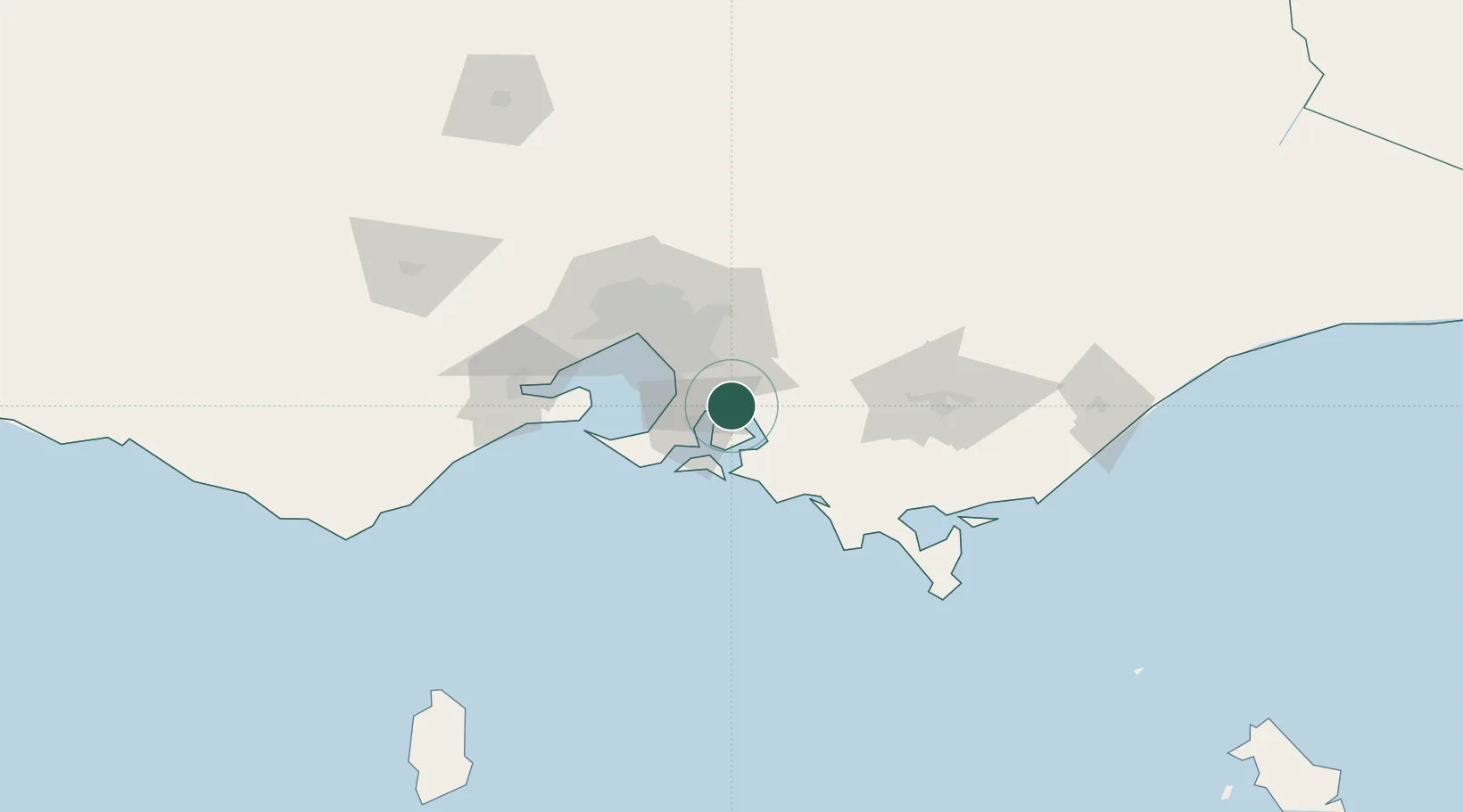
Location
Nearby Logistics Neighbours
Cities
- 1Hastings15 km
- 2Hampton17 km
- 3Baxter21 km
- 4Tankerton21 km
- 5Nar Nar Goon22 km
Ports
- 1Western Port20 km
- 2Melbourne56 km
- 3Geelong89 km
- 4Welshpool109 km
- 5Warrnambool254 km
Airports
Trade Zones
DatabookThe Record of Consolidated Knowledge
Australia beyond logistics?