Transport Functions
Rail
Road
Multimodal
Hub Profile
Place type
Urban district
Region
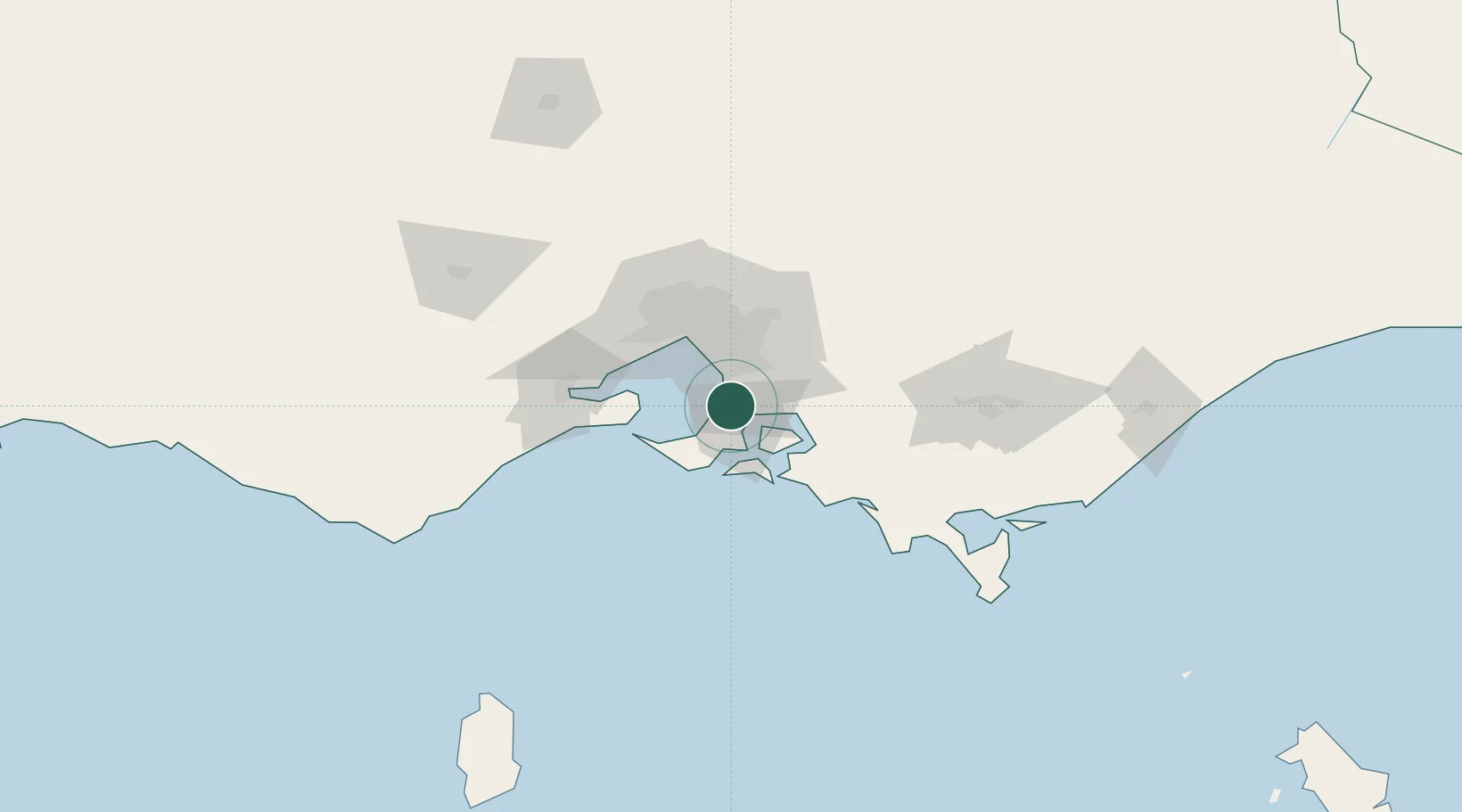
Victoria
Population
2,113
Time zone
Australia/Melbourne
Elevation
51 m
Location
Nearby Logistics Neighbours
Cities
- 1Mount Eliza6 km
- 2Hastings14 km
- 3Bonbeach17 km
- 4Hampton17 km
- 5Balnarring19 km
Ports
- 1Western Port18 km
- 2Melbourne44 km
- 3Geelong69 km
- 4Welshpool127 km
- 5Warrnambool234 km
Airports
Trade Zones
DatabookThe Record of Consolidated Knowledge
Australia beyond logistics?