Transport Functions
Port
Hub Profile
Place type
Urban district
Region
Victoria
Population
9,449
Time zone
Australia/Melbourne
Elevation
12 m
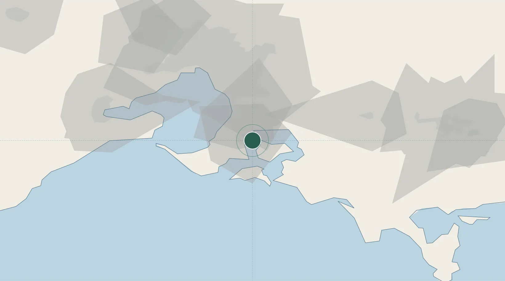
Location
Nearby Logistics Neighbours
Cities
- 1Hampton4 km
- 2Tankerton10 km
- 3Balnarring13 km
- 4Baxter14 km
- 5Tooradin15 km
Ports
- 1Western Port6 km
- 2Melbourne58 km
- 3Geelong79 km
- 4Welshpool115 km
- 5Warrnambool242 km
Airports
Trade Zones
DatabookThe Record of Consolidated Knowledge
Australia beyond logistics?