UN/LOCODE hub · Australia
AUTHS

Tweed Heads South

-28.2000°, 153.5333°
8,210
Population
3
Transport functions

Transport Functions

Port
Road
Multimodal
UN/LOCODE

Hub Profile

Place type
Urban district
GeoNames
Region
New South Wales
GeoNames
Population
8,210
GeoNames
Time zone
Australia/Sydney
GeoNames
Elevation
7 m
GeoNames

Location

Location of AUTHS
Natural Earth 10m (public domain) · New South Wales · AUTHS · -28.20, 153.53GoogleOSMYandex

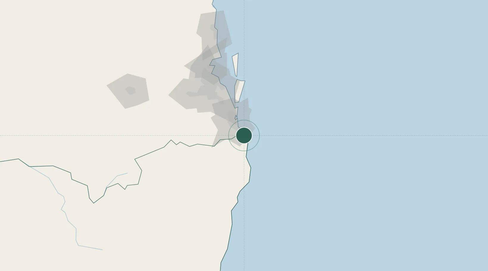
Nearby Logistics Neighbours

Cities
  1. 1Chinderah4 km
  2. 2Reedy Creek17 km
  3. 3Miami18 km
  4. 4Coomera42 km
  5. 5Byron Bay51 km
Nearest neighbours — logibook spatial index (haversine) over the source coordinates
Ports
  1. 1Ballina74 km
  2. 2Brisbane95 km
  3. 3Bundaberg389 km
  4. 4Gladstone535 km
  5. 5Newcastle551 km
Nearest neighbours — logibook spatial index (haversine) over the source coordinates
Airports
  1. 1Gold Coast Airport5 km
  2. 2Ballina Byron Gateway Airport71 km
  3. 3Lismore Airport75 km
  4. 4Brisbane International Airport100 km
  5. 5RAAF Base Amberley102 km
Nearest neighbours — logibook spatial index (haversine) over the source coordinates
Trade Zones
  1. 1Latrobe Valley Economic Growth Zone1298 km
  2. 2Vanuatu Economic Development Zone1990 km
  3. 3Paga Hill Estate Special Economic Zone2186 km
  4. 4Tulagi Island Special Economic Zone2233 km
  5. 5Ihu Special Economic Zone2414 km
Nearest neighbours — logibook spatial index (haversine) over the source coordinates
DatabookThe Record of Consolidated Knowledge
Australia beyond logistics?
Browse databook

All Sources

LocationsUN/LOCODE
UN/LOCODE — free
LocationsGeoNames
CC BY 4.0
Portsthe NGA World Port Index
Public domain (US gov)
AirportsOurAirports
Public domain
Trade Zonesthe World Bank SEZ database
CC BY 4.0
Trade ZonesOpen Zone Map
CC BY
← Australia locations