UN/LOCODE hub · Australia
AURYC

Reedy Creek

-28.1000°, 153.4000°
2
Transport functions

Transport Functions

Road
Multimodal
UN/LOCODE

Hub Profile

Place type
Populated place
GeoNames
Region
Queensland
GeoNames
Time zone
Australia/Brisbane
GeoNames
Elevation
15 m
GeoNames

Location

Location of AURYC
Natural Earth 10m (public domain) · Queensland · AURYC · -28.10, 153.40GoogleOSMYandex

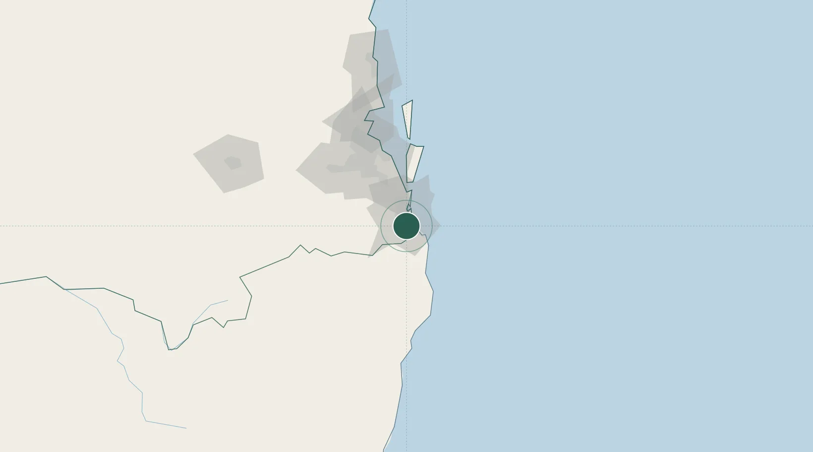
Nearby Logistics Neighbours

Cities
  1. 1Miami5 km
  2. 2Tweed Heads South17 km
  3. 3Chinderah21 km
  4. 4Coomera26 km
  5. 5Tambourine36 km
Nearest neighbours — logibook spatial index (haversine) over the source coordinates
Ports
  1. 1Brisbane79 km
  2. 2Ballina87 km
  3. 3Bundaberg374 km
  4. 4Gladstone519 km
  5. 5Newcastle558 km
Nearest neighbours — logibook spatial index (haversine) over the source coordinates
Airports
  1. 1Gold Coast Airport13 km
  2. 2Lismore Airport82 km
  3. 3Ballina Byron Gateway Airport83 km
  4. 4Brisbane International Airport84 km
  5. 5RAAF Base Amberley85 km
Nearest neighbours — logibook spatial index (haversine) over the source coordinates
Trade Zones
  1. 1Latrobe Valley Economic Growth Zone1301 km
  2. 2Vanuatu Economic Development Zone1992 km
  3. 3Paga Hill Estate Special Economic Zone2171 km
  4. 4Tulagi Island Special Economic Zone2227 km
  5. 5Ihu Special Economic Zone2399 km
Nearest neighbours — logibook spatial index (haversine) over the source coordinates
DatabookThe Record of Consolidated Knowledge
Australia beyond logistics?
Browse databook

All Sources

LocationsUN/LOCODE
UN/LOCODE — free
Portsthe NGA World Port Index
Public domain (US gov)
AirportsOurAirports
Public domain
Trade Zonesthe World Bank SEZ database
CC BY 4.0
Trade ZonesOpen Zone Map
CC BY
← Australia locations