Medium airport · Australia

Ballina Byron Gateway AirportYBNA
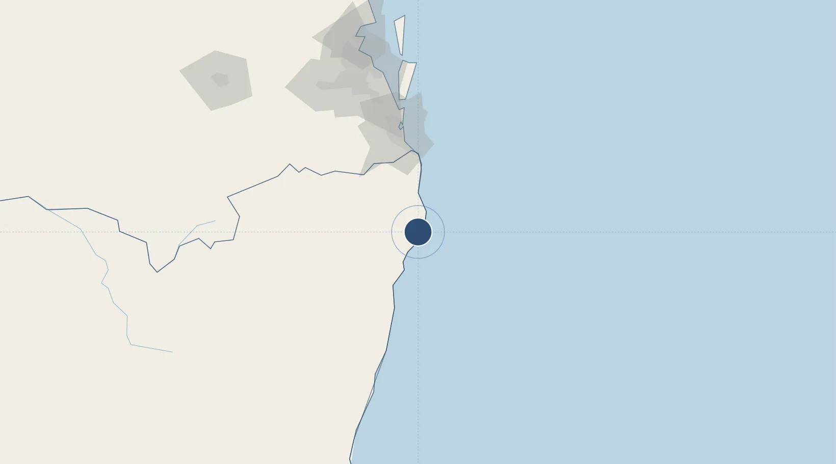
-28.8332°, 153.5615°
6,234 ft
Longest runway
1
Runways
7 ft
Elevation

Runway & Layout

Ballina Byron Gateway Airport runway & taxiway layout
Runway & taxiway layout — OpenStreetMap (ODbL) / OurAirports

Radio Frequencies

CTAF
124.2 MHz
FSS
120.3 MHz
BRISBANE CNTR
OurAirports

Navaids

BNA NDB Ballina 206 kHz
OurAirports

Runways · 1

RunwayDimensions SurfaceTrue headingLit
06/24 6,234 × 98ft Asphalt 074°
OurAirports

Airport Specifications

IATA code
BNK
OurAirports
ICAO code
YBNA
OurAirports
Airport class
Medium airport
OurAirports
Scheduled service
Yes
OurAirports
Runway surface
Asphalt
OurAirports
Served city
Ballina
OurAirports

Location

Location of YBNA
Natural Earth 10m (public domain) · New South Wales · YBNA · -28.83, 153.56GoogleOSMYandex

Nearby Logistics Neighbours

Airports
  1. 1Lismore Airport30 km
  2. 2Gold Coast Airport74 km
  3. 3Clarence Valley Regional Airport115 km
  4. 4RAAF Base Amberley157 km
  5. 5Brisbane International Airport167 km
Nearest neighbours — logibook spatial index (haversine) over the source coordinates
Cities
  1. 1Binna Burra16 km
  2. 2Bangalow17 km
  3. 3Byron Bay21 km
  4. 4Chinderah67 km
  5. 5Tweed Heads South71 km
Nearest neighbours — logibook spatial index (haversine) over the source coordinates
Ports
  1. 1Ballina4 km
  2. 2Brisbane161 km
  3. 3Bundaberg457 km
  4. 4Newcastle485 km
  5. 5Gladstone600 km
Nearest neighbours — logibook spatial index (haversine) over the source coordinates
Trade Zones
  1. 1Latrobe Valley Economic Growth Zone1238 km
  2. 2Vanuatu Economic Development Zone2036 km
  3. 3Paga Hill Estate Special Economic Zone2254 km
  4. 4Tulagi Island Special Economic Zone2299 km
  5. 5Hicks Bay Area Special Economic Zone2476 km
Nearest neighbours — logibook spatial index (haversine) over the source coordinates
DatabookThe Record of Consolidated Knowledge
Australia beyond logistics?
Browse databook

All Sources

AirportsOurAirports
Public domain
Portsthe NGA World Port Index
Public domain (US gov)
LocationsUN/LOCODE
UN/LOCODE — free
Trade Zonesthe World Bank SEZ database
CC BY 4.0
Trade ZonesOpen Zone Map
CC BY
InfrastructureOpenStreetMap
ODbL 1.0
← Australia airports