UN/LOCODE hub · Australia
AUCOO

Coomera

-27.8833°, 153.3000°
3
Transport functions

Transport Functions

Port
Rail
Road
UN/LOCODE

Hub Profile

Place type
Urban district
GeoNames
Region
Queensland
GeoNames
Time zone
Australia/Brisbane
GeoNames
Elevation
7 m
GeoNames

Location

Location of AUCOO
Natural Earth 10m (public domain) · Queensland · AUCOO · -27.88, 153.30GoogleOSMYandex

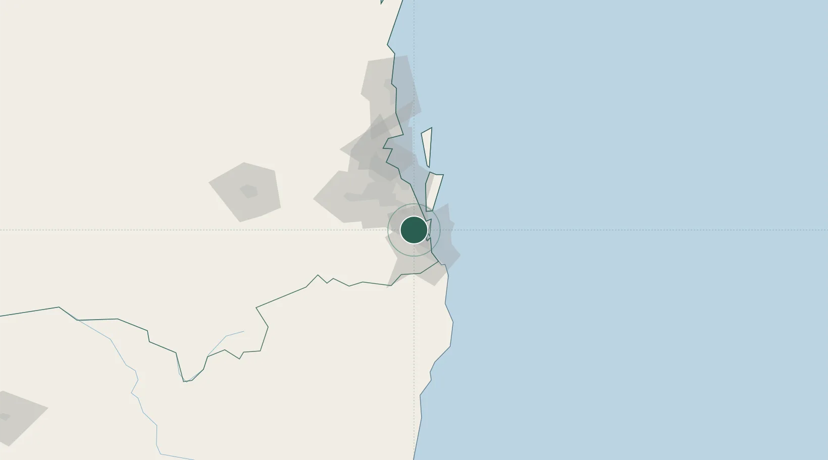
Nearby Logistics Neighbours

Cities
  1. 1Ormeau12 km
  2. 2Tambourine16 km
  3. 3Beenleigh21 km
  4. 4Miami24 km
  5. 5Reedy Creek26 km
Nearest neighbours — logibook spatial index (haversine) over the source coordinates
Ports
  1. 1Brisbane53 km
  2. 2Ballina112 km
  3. 3Bundaberg349 km
  4. 4Gladstone493 km
  5. 5Port Alma537 km
Nearest neighbours — logibook spatial index (haversine) over the source coordinates
Airports
  1. 1Gold Coast Airport37 km
  2. 2Brisbane International Airport58 km
  3. 3RAAF Base Amberley64 km
  4. 4Lismore Airport105 km
  5. 5Ballina Byron Gateway Airport109 km
Nearest neighbours — logibook spatial index (haversine) over the source coordinates
Trade Zones
  1. 1Latrobe Valley Economic Growth Zone1318 km
  2. 2Vanuatu Economic Development Zone1983 km
  3. 3Paga Hill Estate Special Economic Zone2145 km
  4. 4Tulagi Island Special Economic Zone2208 km
  5. 5Ihu Special Economic Zone2373 km
Nearest neighbours — logibook spatial index (haversine) over the source coordinates
DatabookThe Record of Consolidated Knowledge
Australia beyond logistics?
Browse databook

All Sources

LocationsUN/LOCODE
UN/LOCODE — free
Portsthe NGA World Port Index
Public domain (US gov)
AirportsOurAirports
Public domain
Trade Zonesthe World Bank SEZ database
CC BY 4.0
Trade ZonesOpen Zone Map
CC BY
← Australia locations