Transport Functions
Multimodal
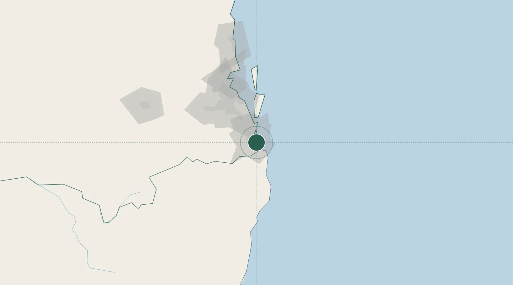
Hub Profile
Place type
Urban district
Region
Queensland
Population
7,162
Time zone
Australia/Brisbane
Elevation
4 m
Location
Nearby Logistics Neighbours
Cities
- 1Reedy Creek5 km
- 2Tweed Heads South18 km
- 3Chinderah22 km
- 4Coomera24 km
- 5Ormeau36 km
Airports
- 1Gold Coast Airport13 km
- 2Brisbane International Airport82 km
- 3RAAF Base Amberley86 km
- 4Ballina Byron Gateway Airport86 km
- 5Lismore Airport87 km
Trade Zones
DatabookThe Record of Consolidated Knowledge
Australia beyond logistics?