Transport Functions
Multimodal
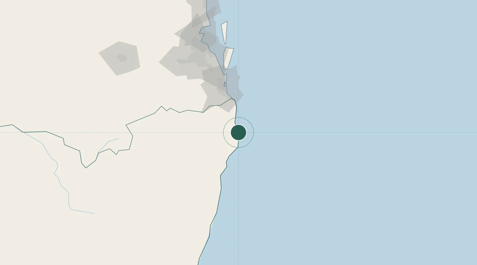
Hub Profile
Place type
Populated place
Region
New South Wales
Population
6,330
Time zone
Australia/Sydney
Elevation
8 m
Location
Nearby Logistics Neighbours
Cities
- 1Bangalow10 km
- 2Binna Burra13 km
- 3Chinderah47 km
- 4Tweed Heads South51 km
- 5Reedy Creek65 km
Airports
- 1Ballina Byron Gateway Airport21 km
- 2Lismore Airport40 km
- 3Gold Coast Airport55 km
- 4Clarence Valley Regional Airport135 km
- 5RAAF Base Amberley144 km
Trade Zones
DatabookThe Record of Consolidated Knowledge
Australia beyond logistics?