Large airport · Australia

Brisbane International AirportYBBN
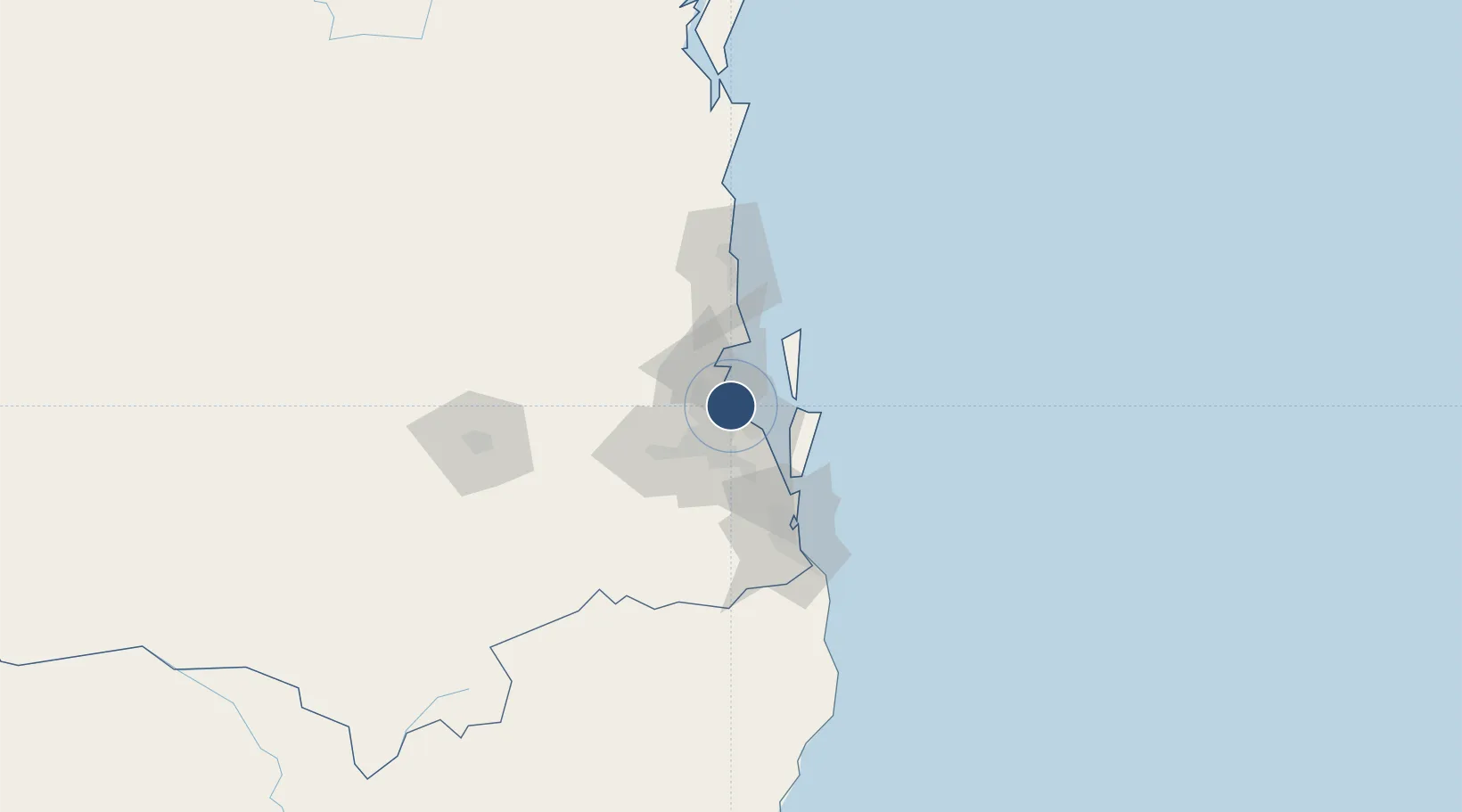
-27.3842°, 153.1170°
11,680 ft
Longest runway
2
Runways
13 ft
Elevation

Runway & Layout

Brisbane International Airport runway & taxiway layout
Runway & taxiway layout — OpenStreetMap (ODbL) / OurAirports

Radio Frequencies

ATIS
113.2 MHz
TWR
120.5 MHz
GND
121.7 MHz
CLD
118.6 MHz
CLNC DEL
A/D
124.35 MHz
APP/DEP
FSS
125.7 MHz
RADAR
OurAirports

Navaids

BN VOR-DME Brisbane 113.20 MHz
OurAirports

Runways · 2

RunwayDimensions SurfaceTrue headingLit
01R/19L 11,680 × 148ft Asphalt 027°
01L/19R 10,827 × 197ft Asphalt 027°
OurAirports

Airport Specifications

IATA code
BNE
OurAirports
ICAO code
YBBN
OurAirports
Airport class
Large airport
OurAirports
Scheduled service
Yes
OurAirports
Runway surface
Asphalt
OurAirports
Served city
Brisbane
OurAirports

Location

Location of YBBN
Natural Earth 10m (public domain) · Queensland · YBBN · -27.38, 153.12GoogleOSMYandex

Nearby Logistics Neighbours

Airports
  1. 1RAAF Base Amberley49 km
  2. 2Sunshine Coast Airport88 km
  3. 3Gold Coast Airport95 km
  4. 4Toowoomba Wellcamp Airport132 km
  5. 5Oakey Army Aviation Centre136 km
Nearest neighbours — logibook spatial index (haversine) over the source coordinates
Cities
  1. 1Pinkenba4 km
  2. 2Brisbane5 km
  3. 3Chermside5 km
  4. 4Port of Brisbane5 km
  5. 5Northgate5 km
Nearest neighbours — logibook spatial index (haversine) over the source coordinates
Ports
  1. 1Brisbane12 km
  2. 2Ballina171 km
  3. 3Bundaberg290 km
  4. 4Gladstone435 km
  5. 5Port Alma480 km
Nearest neighbours — logibook spatial index (haversine) over the source coordinates
Trade Zones
  1. 1Latrobe Valley Economic Growth Zone1360 km
  2. 2Vanuatu Economic Development Zone1961 km
  3. 3Paga Hill Estate Special Economic Zone2087 km
  4. 4Tulagi Island Special Economic Zone2163 km
  5. 5Ihu Special Economic Zone2315 km
Nearest neighbours — logibook spatial index (haversine) over the source coordinates
DatabookThe Record of Consolidated Knowledge
Australia beyond logistics?
Browse databook

All Sources

AirportsOurAirports
Public domain
Portsthe NGA World Port Index
Public domain (US gov)
LocationsUN/LOCODE
UN/LOCODE — free
Trade Zonesthe World Bank SEZ database
CC BY 4.0
Trade ZonesOpen Zone Map
CC BY
InfrastructureOpenStreetMap
ODbL 1.0
← Australia airports