Transport Functions
Port
Road
Hub Profile
Place type
Urban district
Region
New South Wales
Population
1,683
Time zone
Australia/Sydney
Elevation
3 m
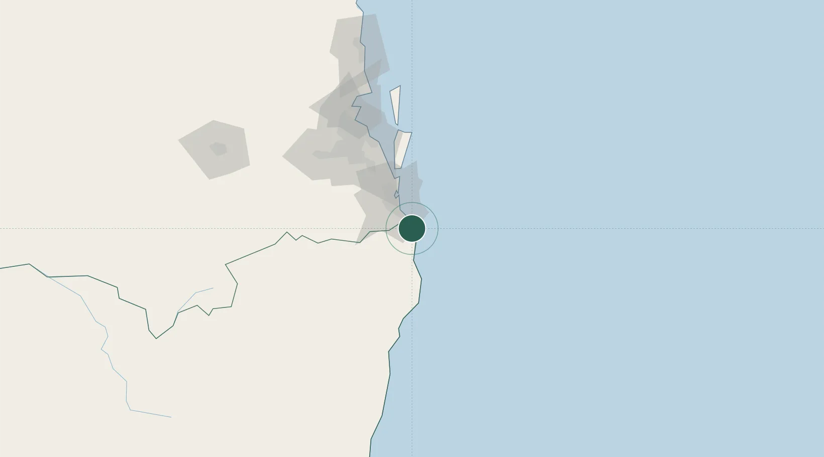
Location
Nearby Logistics Neighbours
Cities
- 1Tweed Heads South4 km
- 2Reedy Creek21 km
- 3Miami22 km
- 4Coomera46 km
- 5Byron Bay47 km
Airports
- 1Gold Coast Airport9 km
- 2Ballina Byron Gateway Airport67 km
- 3Lismore Airport72 km
- 4Brisbane International Airport104 km
- 5RAAF Base Amberley106 km
Trade Zones
DatabookThe Record of Consolidated Knowledge
Australia beyond logistics?