Large airport · Australia

Gold Coast AirportYBCG
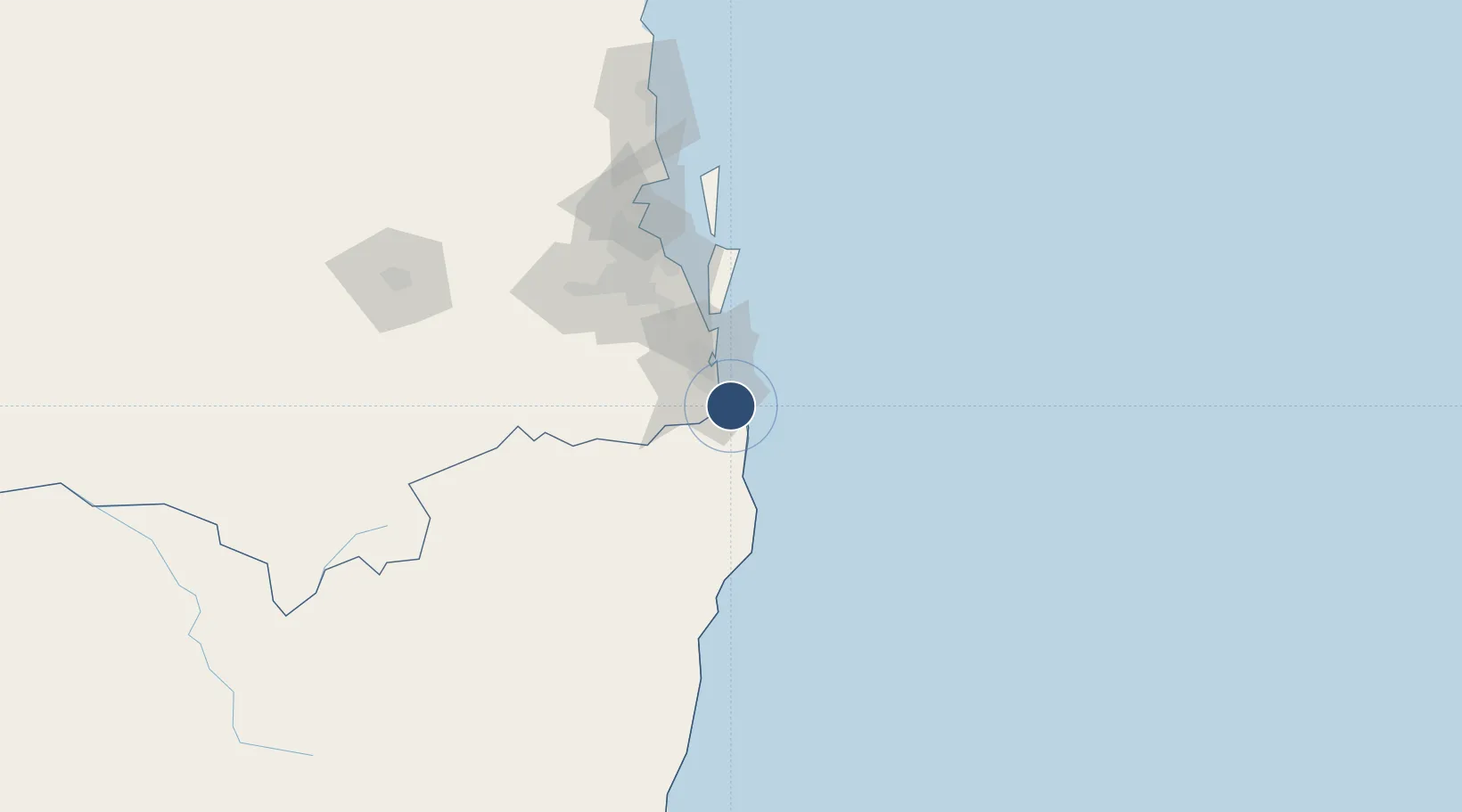
-28.1660°, 153.5066°
8,176 ft
Longest runway
2
Runways
21 ft
Elevation

Runway & Layout

Gold Coast Airport runway & taxiway layout
Runway & taxiway layout — OpenStreetMap (ODbL) / OurAirports

Radio Frequencies

ATIS
112.3 MHz
H24
ATIS
134.5 MHz
ATIS (TWR HR)
TWR
118.7 MHz
Tower
CTAF
118.7 MHz
ACD
128.75 MHz
Clearance Delivery
FIA
119.5 MHz
Brisbane Center
SMC
121.8 MHz
Ground
OurAirports

Navaids

CG VOR-DME Coolangatta 112.30 MHz
CG NDB Coolangatta 278 kHz
OurAirports

Runways · 2

RunwayDimensions SurfaceTrue headingLit
14/32 8,176 × 148ft Asphalt 150°
17/35 1,909 × 59ft Asphalt 184°
OurAirports

Airport Specifications

IATA code
OOL
OurAirports
ICAO code
YBCG
OurAirports
Airport class
Large airport
OurAirports
Scheduled service
Yes
OurAirports
Runway surface
Asphalt
OurAirports
Served city
Gold Coast
OurAirports

Location

Location of YBCG
Natural Earth 10m (public domain) · New South Wales · YBCG · -28.17, 153.51GoogleOSMYandex

Nearby Logistics Neighbours

Airports
  1. 1Ballina Byron Gateway Airport74 km
  2. 2Lismore Airport78 km
  3. 3Brisbane International Airport95 km
  4. 4RAAF Base Amberley98 km
  5. 5Sunshine Coast Airport180 km
Nearest neighbours — logibook spatial index (haversine) over the source coordinates
Cities
  1. 1Tweed Heads South5 km
  2. 2Chinderah9 km
  3. 3Reedy Creek13 km
  4. 4Miami13 km
  5. 5Coomera37 km
Nearest neighbours — logibook spatial index (haversine) over the source coordinates
Ports
  1. 1Ballina78 km
  2. 2Brisbane91 km
  3. 3Bundaberg385 km
  4. 4Gladstone530 km
  5. 5Newcastle553 km
Nearest neighbours — logibook spatial index (haversine) over the source coordinates
Trade Zones
  1. 1Latrobe Valley Economic Growth Zone1300 km
  2. 2Vanuatu Economic Development Zone1989 km
  3. 3Paga Hill Estate Special Economic Zone2182 km
  4. 4Tulagi Island Special Economic Zone2231 km
  5. 5Ihu Special Economic Zone2410 km
Nearest neighbours — logibook spatial index (haversine) over the source coordinates
DatabookThe Record of Consolidated Knowledge
Australia beyond logistics?
Browse databook

All Sources

AirportsOurAirports
Public domain
Portsthe NGA World Port Index
Public domain (US gov)
LocationsUN/LOCODE
UN/LOCODE — free
Trade Zonesthe World Bank SEZ database
CC BY 4.0
Trade ZonesOpen Zone Map
CC BY
InfrastructureOpenStreetMap
ODbL 1.0
← Australia airports