Transport Functions
Rail
Road
Hub Profile
Place type
Urban district
Region
New South Wales
Population
3,391
Time zone
Australia/Sydney
Elevation
62 m
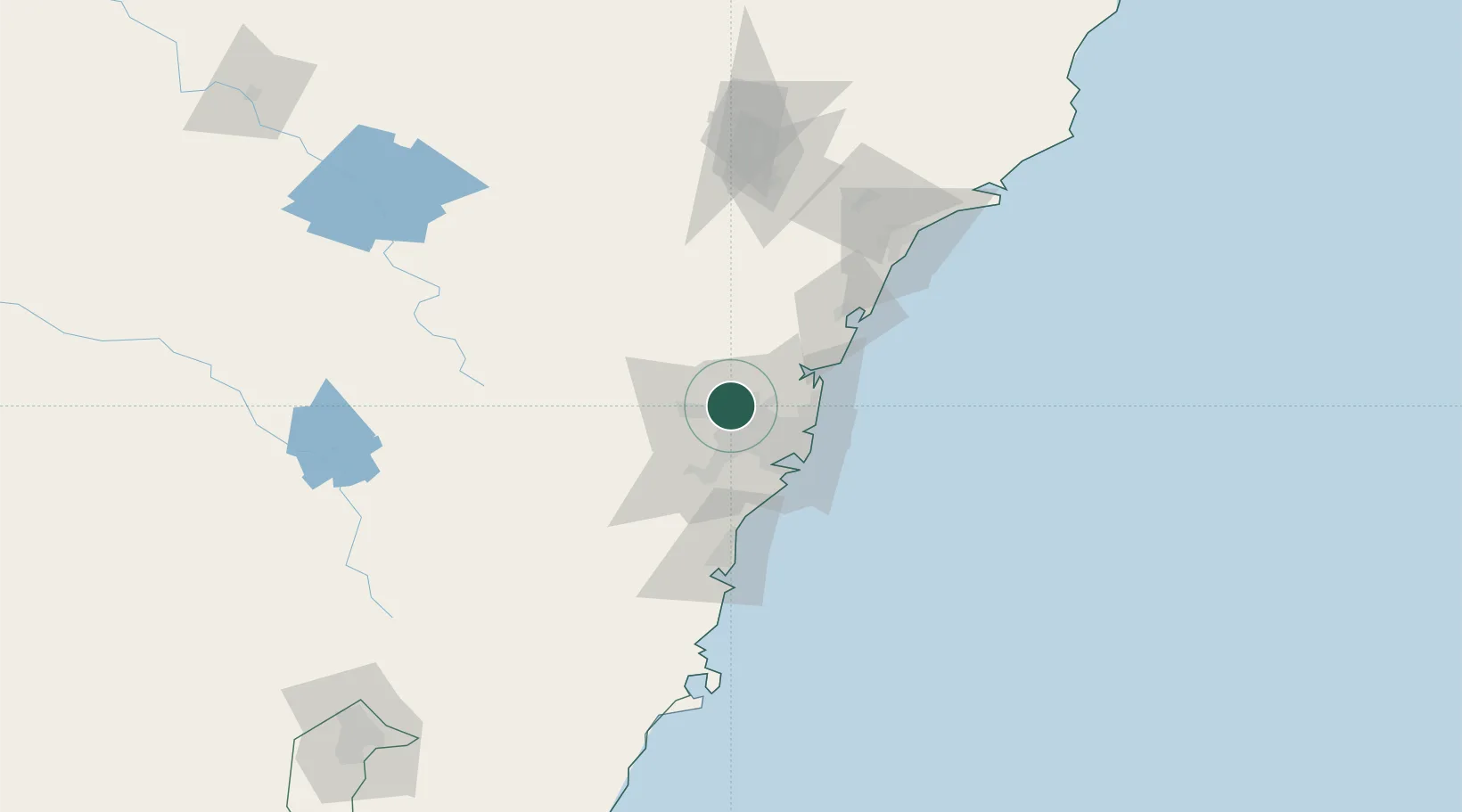
Location
Nearby Logistics Neighbours
Cities
- 1Marayong2 km
- 2Blacktown4 km
- 3Glendenning5 km
- 4Arndell Park6 km
- 5Pendle Hills9 km
Ports
- 1Sydney31 km
- 2Botany Bay43 km
- 3Port Kembla83 km
- 4Newcastle122 km
- 5Jervis Bay154 km
Airports
Trade Zones
DatabookThe Record of Consolidated Knowledge
Australia beyond logistics?