UN/LOCODE hub · Australia
AUSGV
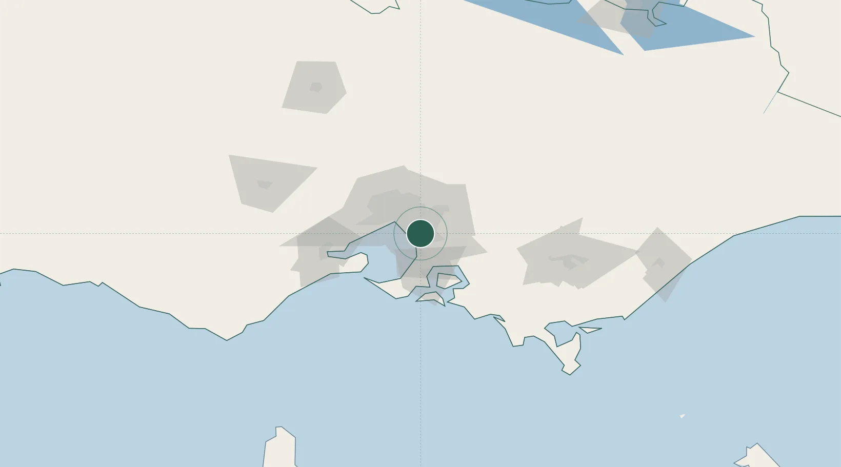
Springvale
-37.9667°, 145.1500°
22,174
Population
2
Transport functions
Transport Functions
Rail
Road
Hub Profile
Place type
Urban district
Region
Victoria
Population
22,174
Time zone
Australia/Melbourne
Elevation
55 m
Location
Nearby Logistics Neighbours
Cities
- 1Dingley Village2 km
- 2Braeside4 km
- 3Waterways5 km
- 4Mentone8 km
- 5Notting Hill8 km
Ports
- 1Melbourne22 km
- 2Western Port43 km
- 3Geelong72 km
- 4Welshpool141 km
- 5Warrnambool238 km
Airports
Trade Zones
DatabookThe Record of Consolidated Knowledge
Australia beyond logistics?