UN/LOCODE hub · Australia
AUDGY
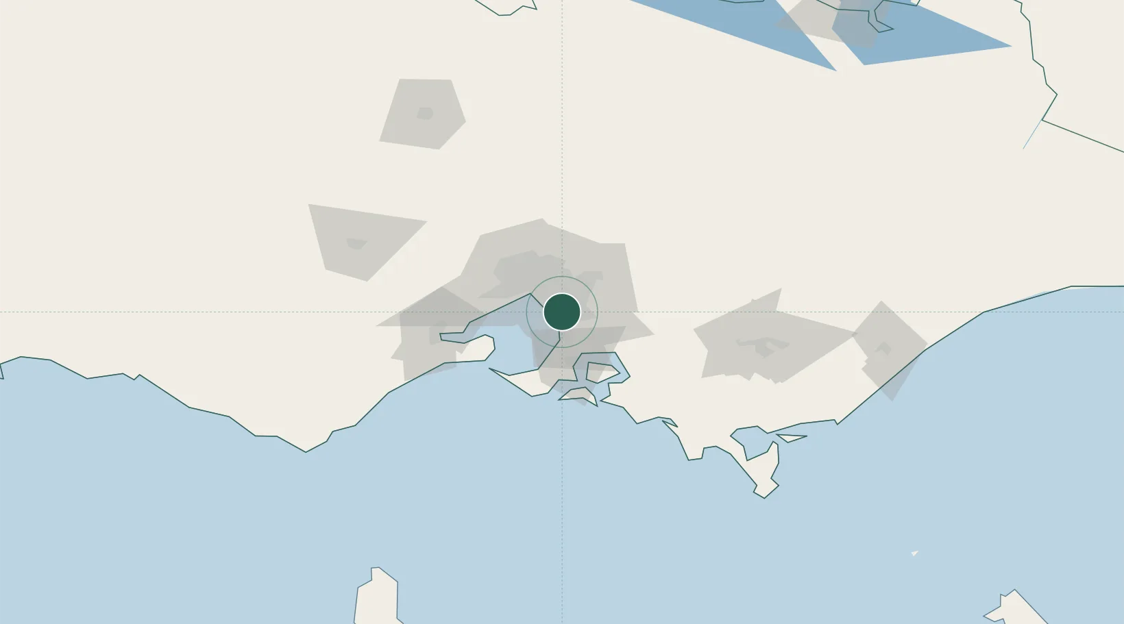
Dingley Village
-37.9833°, 145.1333°
10,495
Population
2
Transport functions
Transport Functions
Road
Multimodal
Hub Profile
Place type
Urban district
Region
Victoria
Population
10,495
Time zone
Australia/Melbourne
Elevation
27 m
Location
Nearby Logistics Neighbours
Cities
- 1Braeside2 km
- 2Waterways2 km
- 3Springvale2 km
- 4Mordialloc6 km
- 5Mentone6 km
Ports
- 1Melbourne22 km
- 2Western Port42 km
- 3Geelong70 km
- 4Welshpool141 km
- 5Warrnambool236 km
Airports
Trade Zones
DatabookThe Record of Consolidated Knowledge
Australia beyond logistics?