Transport Functions
Multimodal
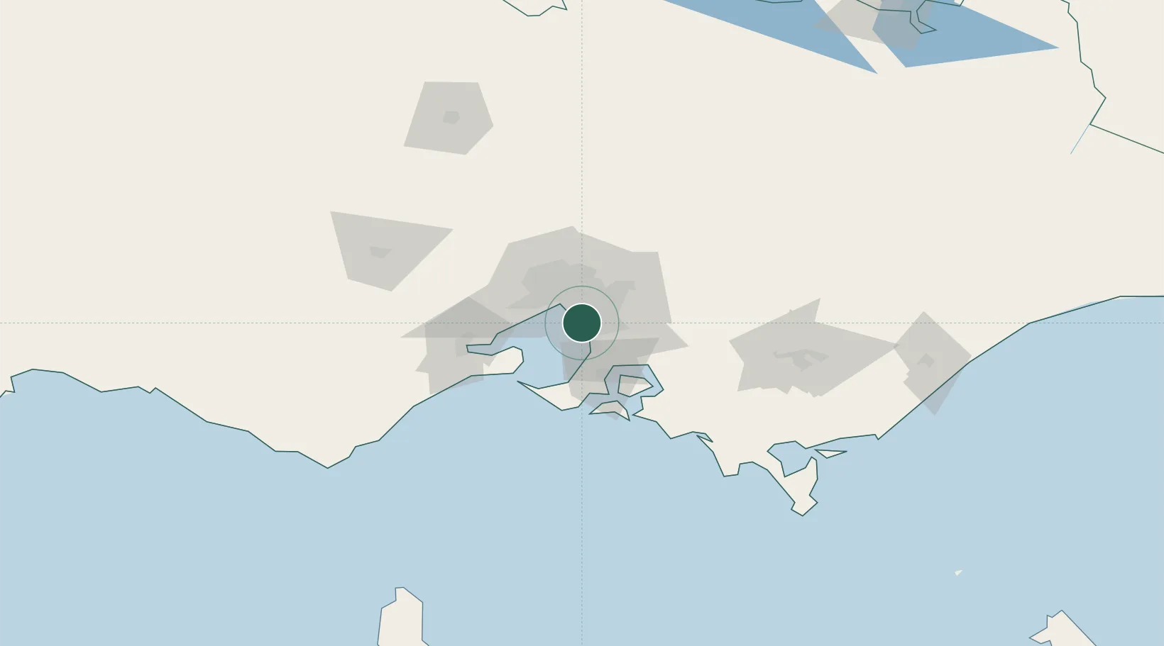
Hub Profile
Place type
Urban district
Region
Victoria
Population
13,197
Time zone
Australia/Melbourne
Elevation
24 m
Location
Nearby Logistics Neighbours
Cities
- 1Mordialloc4 km
- 2Braeside4 km
- 3Waterways5 km
- 4Dingley Village6 km
- 5Aspendale6 km
Ports
- 1Melbourne19 km
- 2Western Port43 km
- 3Geelong64 km
- 4Welshpool146 km
- 5Warrnambool231 km
Airports
Trade Zones
DatabookThe Record of Consolidated Knowledge
Australia beyond logistics?