Transport Functions
Port
Multimodal
Hub Profile
Place type
Urban district
Region
Victoria
Population
2,422
Time zone
Australia/Melbourne
Elevation
5 m
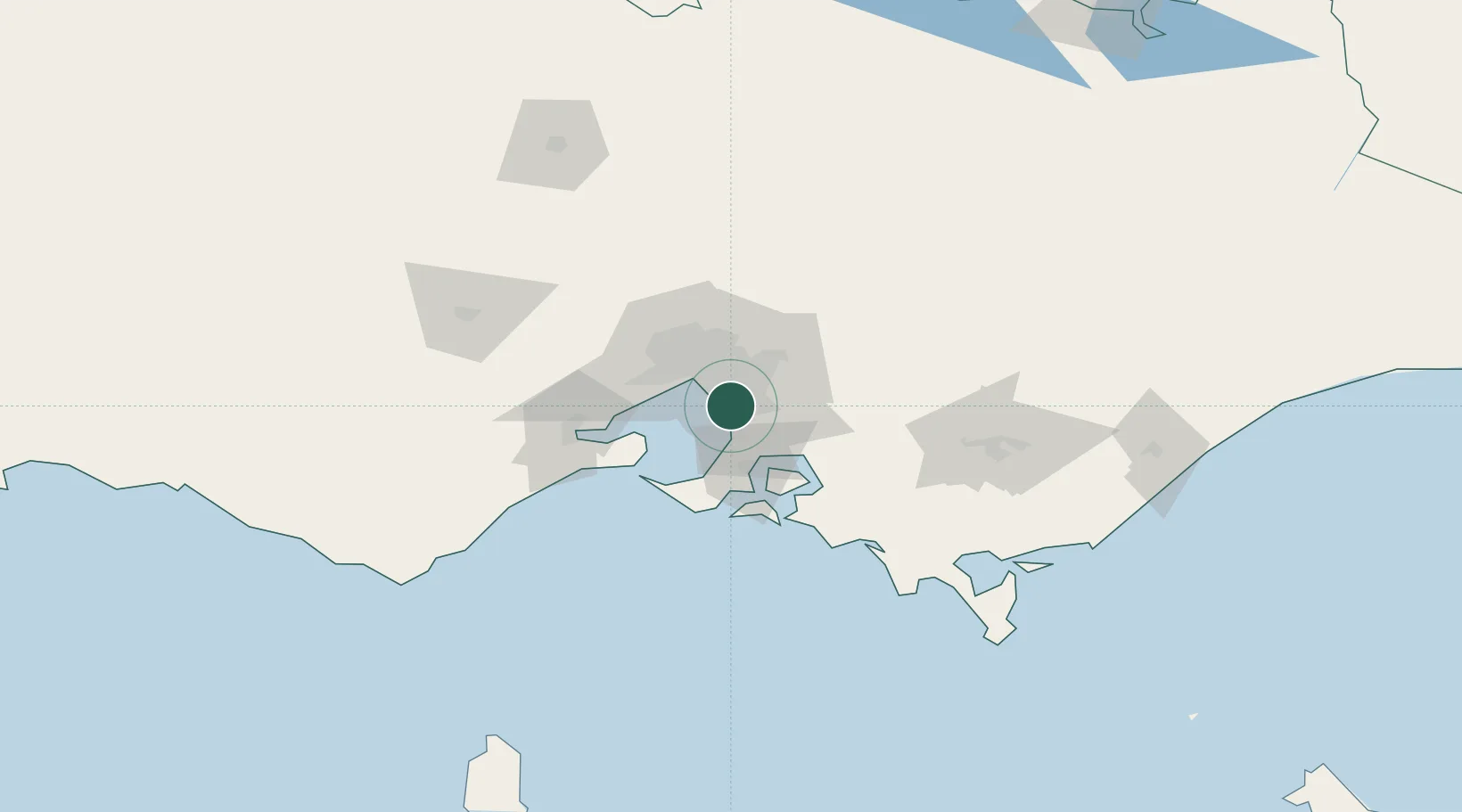
Location
Nearby Logistics Neighbours
Cities
- 1Braeside2 km
- 2Dingley Village2 km
- 3Mordialloc4 km
- 4Aspendale4 km
- 5Springvale5 km
Ports
- 1Melbourne23 km
- 2Western Port40 km
- 3Geelong68 km
- 4Welshpool141 km
- 5Warrnambool234 km
Airports
Trade Zones
DatabookThe Record of Consolidated Knowledge
Australia beyond logistics?