UN/LOCODE hub · Australia
AUNTH
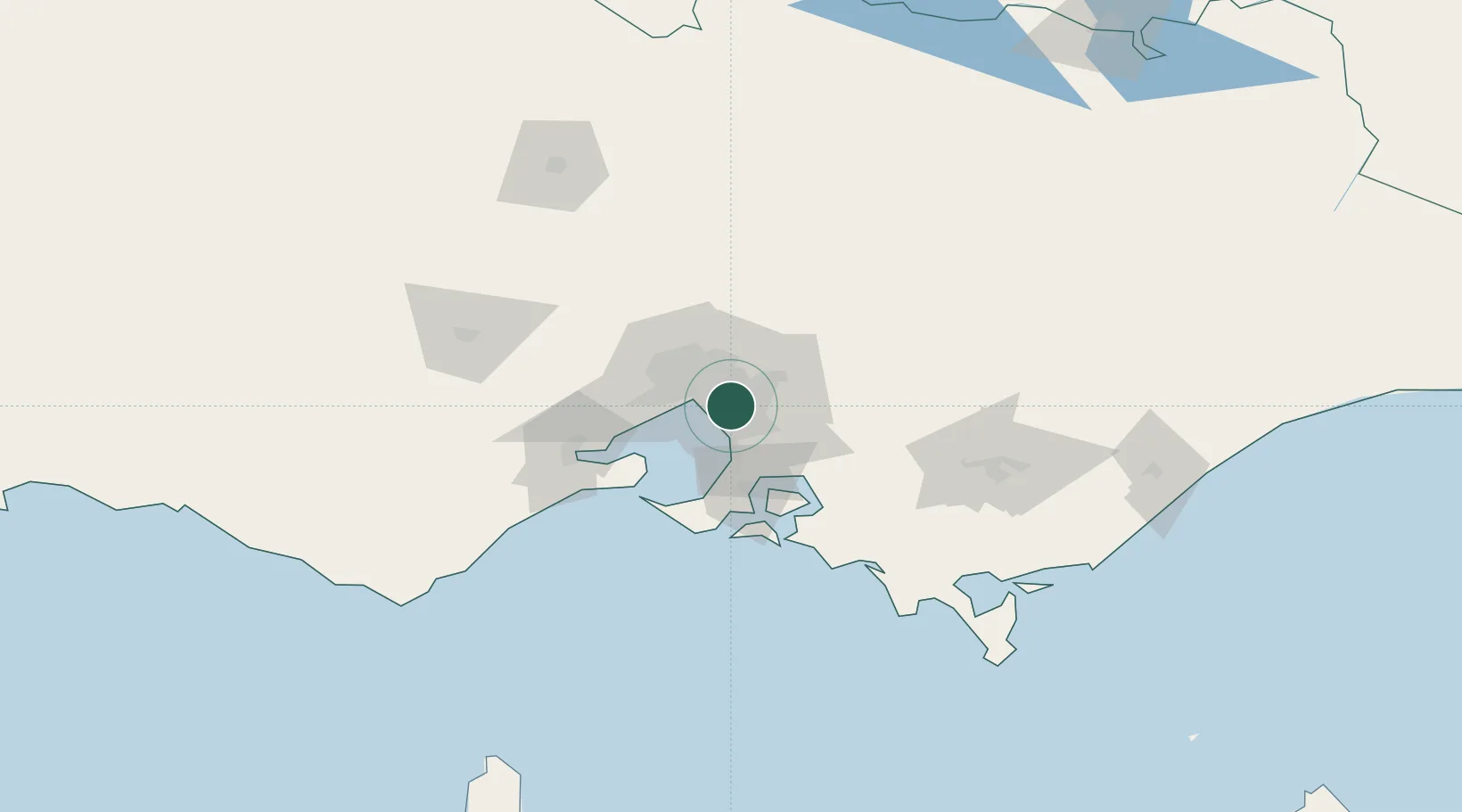
Notting Hill
-37.9000°, 145.1167°
3,052
Population
2
Transport functions
Transport Functions
Rail
Road
Hub Profile
Place type
Urban district
Region
Victoria
Population
3,052
Time zone
Australia/Melbourne
Elevation
101 m
Location
Nearby Logistics Neighbours
Cities
- 1Mount Waverly2 km
- 2Oakleigh3 km
- 3Glen Waverley5 km
- 4Chadstone/Melbourne5 km
- 5Springvale8 km
Ports
- 1Melbourne15 km
- 2Western Port51 km
- 3Geelong71 km
- 4Welshpool148 km
- 5Warrnambool237 km
Airports
Trade Zones
DatabookThe Record of Consolidated Knowledge
Australia beyond logistics?