Transport Functions
Rail
Road
Multimodal
Hub Profile
Region
QLD
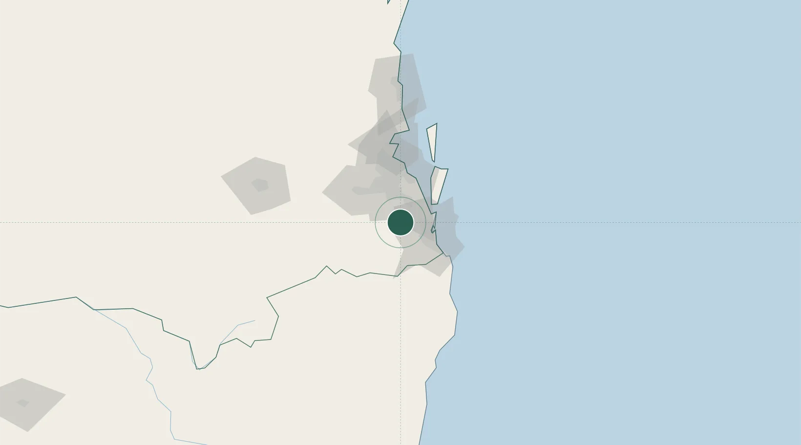
Location
Nearby Logistics Neighbours
Cities
- 1Coomera16 km
- 2Ormeau17 km
- 3Beenleigh20 km
- 4Crestmead23 km
- 5Meadowbrook24 km
Airports
- 1Gold Coast Airport48 km
- 2RAAF Base Amberley50 km
- 3Brisbane International Airport56 km
- 4Lismore Airport106 km
- 5Ballina Byron Gateway Airport114 km
Trade Zones
DatabookThe Record of Consolidated Knowledge
Australia beyond logistics?