Transport Functions
Port
Rail
Road
Hub Profile
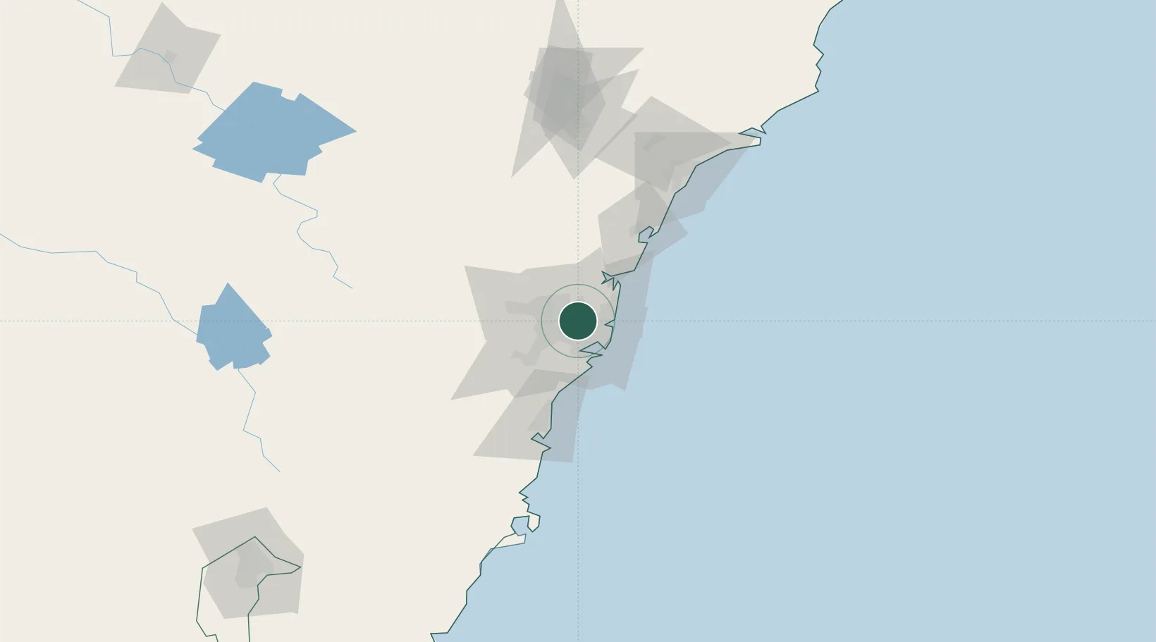
Place type
Urban district
Region
New South Wales
Population
11,453
Time zone
Australia/Sydney
Elevation
22 m
Location
Nearby Logistics Neighbours
Cities
- 1Wentworth Point2 km
- 2Strathfield4 km
- 3Hunters Hill5 km
- 4Haberfield6 km
- 5Carlingford6 km
Ports
- 1Sydney11 km
- 2Botany Bay23 km
- 3Port Kembla74 km
- 4Newcastle121 km
- 5Jervis Bay145 km
Airports
Trade Zones
DatabookThe Record of Consolidated Knowledge
Australia beyond logistics?