UN/LOCODE hub · Australia
AUCLF
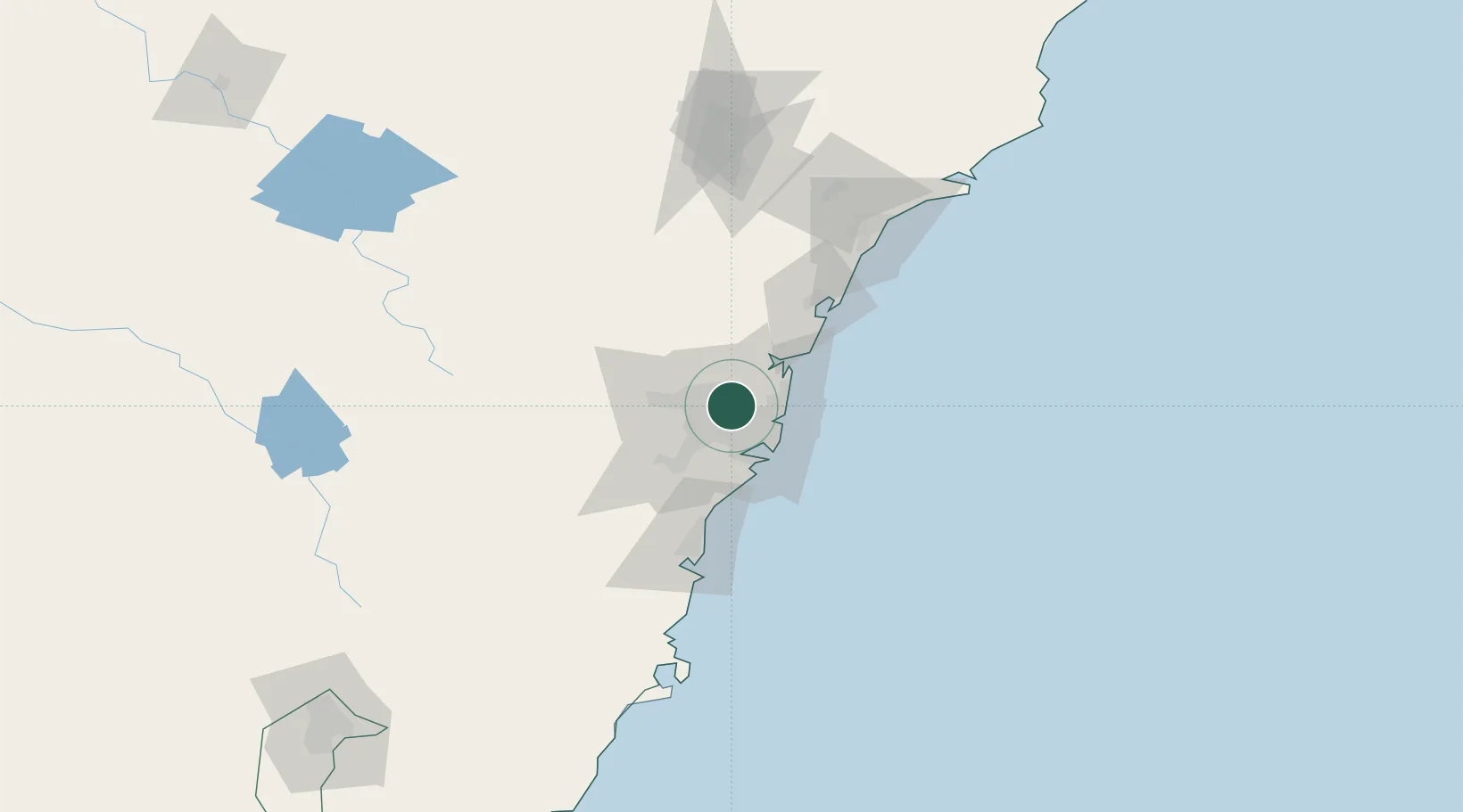
Carlingford
-33.7833°, 151.0500°
24,131
Population
1
Transport functions
Transport Functions
Port
Hub Profile
Place type
Urban district
Region
New South Wales
Population
24,131
Time zone
Australia/Sydney
Elevation
105 m
Location
Nearby Logistics Neighbours
Cities
- 1Camellia5 km
- 2Marsfield5 km
- 3Wentworth Point6 km
- 4Pennant Hills6 km
- 5Rhodes6 km
Ports
- 1Sydney17 km
- 2Botany Bay29 km
- 3Port Kembla79 km
- 4Newcastle118 km
- 5Jervis Bay150 km
Airports
Trade Zones
DatabookThe Record of Consolidated Knowledge
Australia beyond logistics?