UN/LOCODE hub · Australia
AUHHW

Hunters Hill

-33.8333°, 151.1333°
9,357
Population
1
Transport functions

Transport Functions

Multimodal
UN/LOCODE

Hub Profile

Place type
Urban district
GeoNames
Region
New South Wales
GeoNames
Population
9,357
GeoNames
Time zone
Australia/Sydney
GeoNames
Elevation
37 m
GeoNames

Location

Location of AUHHW
Natural Earth 10m (public domain) · New South Wales · AUHHW · -33.83, 151.13GoogleOSMYandex

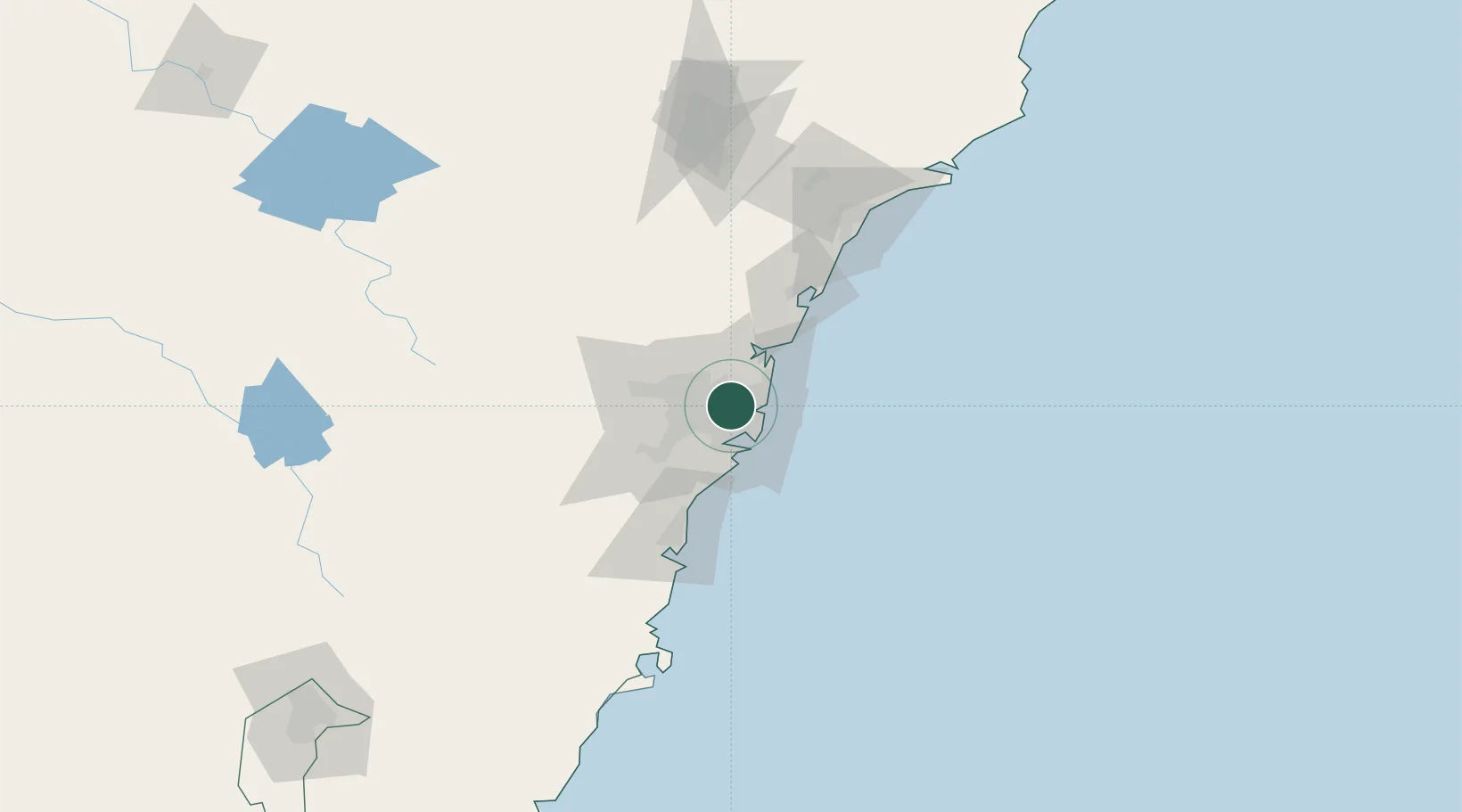
Nearby Logistics Neighbours

Cities
  1. 1Rozelle4 km
  2. 2Haberfield4 km
  3. 3Lilyfield4 km
  4. 4Rhodes5 km
  5. 5Strathfield5 km
Nearest neighbours — logibook spatial index (haversine) over the source coordinates
Ports
  1. 1Sydney7 km
  2. 2Botany Bay21 km
  3. 3Port Kembla75 km
  4. 4Newcastle119 km
  5. 5Jervis Bay146 km
Nearest neighbours — logibook spatial index (haversine) over the source coordinates
Airports
  1. 1Sydney Kingsford Smith International Airport13 km
  2. 2Sydney Bankstown Airport17 km
  3. 3Palm Beach Seaplane Base33 km
  4. 4RAAF Base Richmond41 km
  5. 5Camden Airport47 km
Nearest neighbours — logibook spatial index (haversine) over the source coordinates
Trade Zones
  1. 1Latrobe Valley Economic Growth Zone649 km
  2. 2Hicks Bay Area Special Economic Zone2465 km
  3. 3Vanuatu Economic Development Zone2596 km
  4. 4Paga Hill Estate Special Economic Zone2738 km
  5. 5Tulagi Island Special Economic Zone2900 km
Nearest neighbours — logibook spatial index (haversine) over the source coordinates
DatabookThe Record of Consolidated Knowledge
Australia beyond logistics?
Browse databook

All Sources

LocationsUN/LOCODE
UN/LOCODE — free
LocationsGeoNames
CC BY 4.0
Portsthe NGA World Port Index
Public domain (US gov)
AirportsOurAirports
Public domain
Trade Zonesthe World Bank SEZ database
CC BY 4.0
Trade ZonesOpen Zone Map
CC BY
← Australia locations