UN/LOCODE hub · Australia
AUSFI
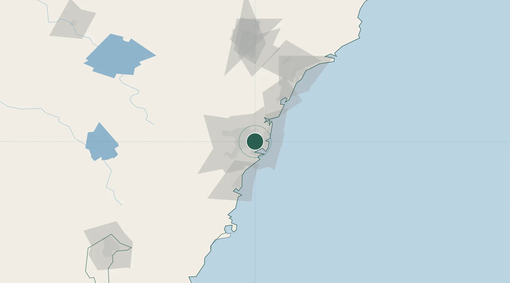
Strathfield
-33.8667°, 151.1000°
25,769
Population
2
Transport functions
Transport Functions
Rail
Road
Hub Profile
Place type
Urban district
Region
New South Wales
Population
25,769
Time zone
Australia/Sydney
Elevation
39 m
Location
Nearby Logistics Neighbours
Cities
- 1Haberfield3 km
- 2Canterbury4 km
- 3Rhodes4 km
- 4Lilyfield5 km
- 5Hunters Hill5 km
Ports
- 1Sydney9 km
- 2Botany Bay19 km
- 3Port Kembla71 km
- 4Newcastle123 km
- 5Jervis Bay142 km
Airports
Trade Zones
DatabookThe Record of Consolidated Knowledge
Australia beyond logistics?