Transport Functions
Rail
Road
Multimodal
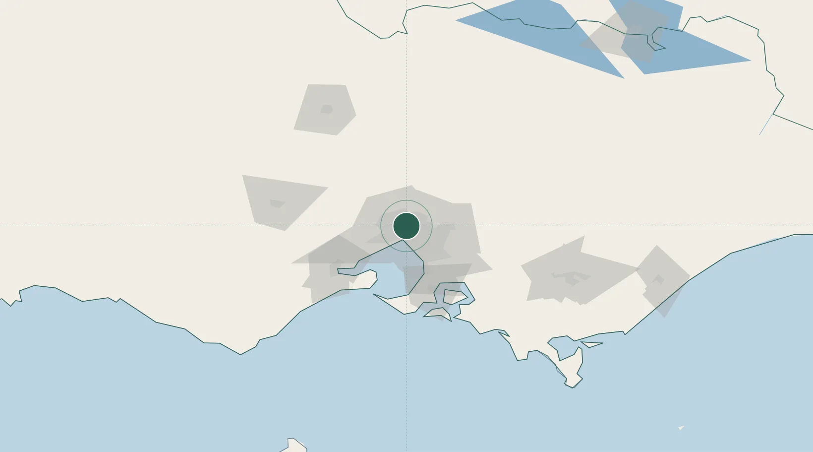
Hub Profile
Place type
Urban district
Region
Victoria
Population
26,574
Time zone
Australia/Melbourne
Elevation
61 m
Location
Nearby Logistics Neighbours
Cities
- 1Brunswich2 km
- 2Preston4 km
- 3Reservoir5 km
- 4Pascoe Vale5 km
- 5Alphington5 km
Ports
- 1Melbourne9 km
- 2Geelong69 km
- 3Western Port71 km
- 4Welshpool168 km
- 5Warrnambool229 km
Airports
Trade Zones
DatabookThe Record of Consolidated Knowledge
Australia beyond logistics?