UN/LOCODE hub · Australia
AUIGN

Ingleburn

-34.0000°, 150.8667°
14,994
Population
2
Transport functions

Transport Functions

Rail
Road
UN/LOCODE

Hub Profile

Place type
Urban district
GeoNames
Region
New South Wales
GeoNames
Population
14,994
GeoNames
Time zone
Australia/Sydney
GeoNames
Elevation
36 m
GeoNames

Location

Location of AUIGN
Natural Earth 10m (public domain) · New South Wales · AUIGN · -34.00, 150.87GoogleOSMYandex

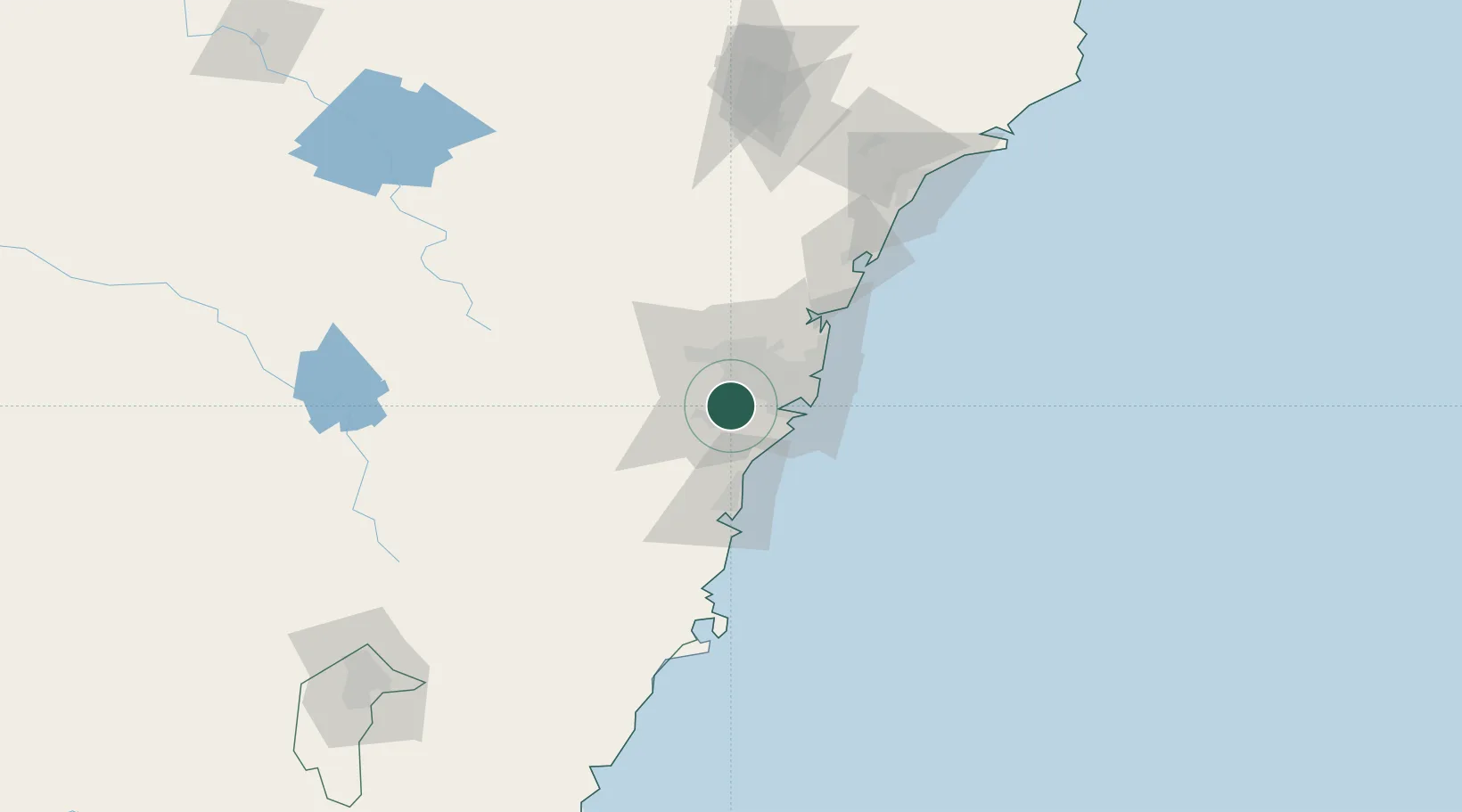
Nearby Logistics Neighbours

Cities
  1. 1Revesby14 km
  2. 2Sydney16 km
  3. 3Padstow16 km
  4. 4Fairfield17 km
  5. 5Wetherill Park17 km
Nearest neighbours — logibook spatial index (haversine) over the source coordinates
Ports
  1. 1Botany Bay34 km
  2. 2Sydney34 km
  3. 3Port Kembla54 km
  4. 4Jervis Bay124 km
  5. 5Newcastle148 km
Nearest neighbours — logibook spatial index (haversine) over the source coordinates
Airports
  1. 1Sydney Bankstown Airport14 km
  2. 2Camden Airport17 km
  3. 3Sydney Kingsford Smith International Airport29 km
  4. 4RAAF Base Richmond45 km
  5. 5Palm Beach Seaplane Base62 km
Nearest neighbours — logibook spatial index (haversine) over the source coordinates
Trade Zones
  1. 1Latrobe Valley Economic Growth Zone619 km
  2. 2Hicks Bay Area Special Economic Zone2483 km
  3. 3Vanuatu Economic Development Zone2626 km
  4. 4Paga Hill Estate Special Economic Zone2753 km
  5. 5Tulagi Island Special Economic Zone2926 km
Nearest neighbours — logibook spatial index (haversine) over the source coordinates
DatabookThe Record of Consolidated Knowledge
Australia beyond logistics?
Browse databook

All Sources

LocationsUN/LOCODE
UN/LOCODE — free
LocationsGeoNames
CC BY 4.0
Portsthe NGA World Port Index
Public domain (US gov)
AirportsOurAirports
Public domain
Trade Zonesthe World Bank SEZ database
CC BY 4.0
Trade ZonesOpen Zone Map
CC BY
← Australia locations