UN/LOCODE hub · Australia
AUCOU

Coolum

-26.5500°, 153.0833°
2
Transport functions

Transport Functions

Port
Multimodal
UN/LOCODE

Hub Profile

Place type
Urban district
GeoNames
Region
Queensland
GeoNames
Time zone
Australia/Brisbane
GeoNames
Elevation
8 m
GeoNames

Location

Location of AUCOU
Natural Earth 10m (public domain) · Queensland · AUCOU · -26.55, 153.08GoogleOSMYandex

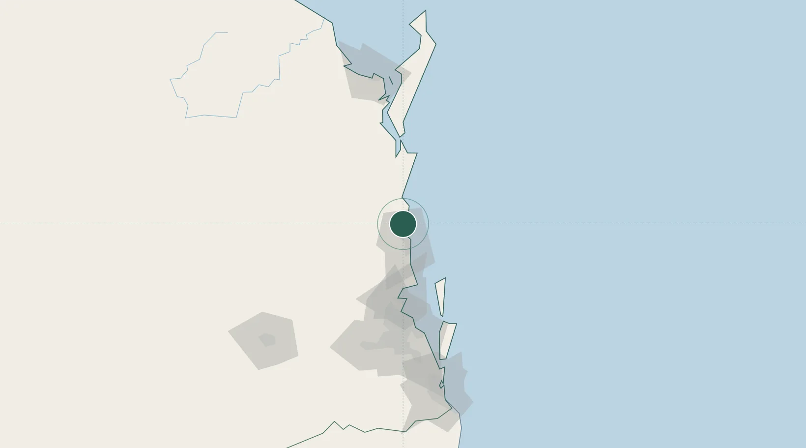
Nearby Logistics Neighbours

Cities
  1. 1Kunda Park12 km
  2. 2Yandina13 km
  3. 3Mooloolaba16 km
  4. 4Bulwer64 km
  5. 5Mango Hill76 km
Nearest neighbours — logibook spatial index (haversine) over the source coordinates
Ports
  1. 1Brisbane102 km
  2. 2Bundaberg201 km
  3. 3Ballina262 km
  4. 4Gladstone352 km
  5. 5Port Alma399 km
Nearest neighbours — logibook spatial index (haversine) over the source coordinates
Airports
  1. 1Sunshine Coast Airport5 km
  2. 2Brisbane International Airport93 km
  3. 3Kingaroy Airport124 km
  4. 4RAAF Base Amberley126 km
  5. 5Hervey Bay Airport138 km
Nearest neighbours — logibook spatial index (haversine) over the source coordinates
Trade Zones
  1. 1Latrobe Valley Economic Growth Zone1442 km
  2. 2Vanuatu Economic Development Zone1906 km
  3. 3Paga Hill Estate Special Economic Zone1998 km
  4. 4Tulagi Island Special Economic Zone2078 km
  5. 5Ihu Special Economic Zone2228 km
Nearest neighbours — logibook spatial index (haversine) over the source coordinates
DatabookThe Record of Consolidated Knowledge
Australia beyond logistics?
Browse databook

All Sources

LocationsUN/LOCODE
UN/LOCODE — free
Portsthe NGA World Port Index
Public domain (US gov)
AirportsOurAirports
Public domain
Trade Zonesthe World Bank SEZ database
CC BY 4.0
Trade ZonesOpen Zone Map
CC BY
← Australia locations