Transport Functions
Rail
Road
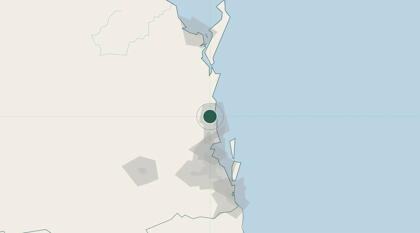
Hub Profile
Place type
Urban district
Region
Queensland
Population
24
Time zone
Australia/Brisbane
Elevation
41 m
Location
Nearby Logistics Neighbours
Cities
- 1Mooloolaba11 km
- 2Coolum12 km
- 3Yandina12 km
- 4Bulwer57 km
- 5Mango Hill65 km
Airports
- 1Sunshine Coast Airport8 km
- 2Brisbane International Airport82 km
- 3RAAF Base Amberley114 km
- 4Kingaroy Airport119 km
- 5Hervey Bay Airport149 km
Trade Zones
DatabookThe Record of Consolidated Knowledge
Australia beyond logistics?