UN/LOCODE hub · Australia
AUNS8

West Pymble

-33.7667°, 151.1333°
5,211
Population
1
Transport functions

Transport Functions

Multimodal
UN/LOCODE

Hub Profile

Place type
Urban district
GeoNames
Region
New South Wales
GeoNames
Population
5,211
GeoNames
Time zone
Australia/Sydney
GeoNames
Elevation
79 m
GeoNames

Location

Location of AUNS8
Natural Earth 10m (public domain) · New South Wales · AUNS8 · -33.77, 151.13GoogleOSMYandex

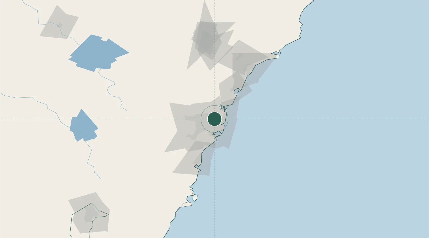
Nearby Logistics Neighbours

Cities
  1. 1Macquarie Park2 km
  2. 2Hornsby2 km
  3. 3Marsfield3 km
  4. 4Pennant Hills7 km
  5. 5Hunters Hill7 km
Nearest neighbours — logibook spatial index (haversine) over the source coordinates
Ports
  1. 1Sydney13 km
  2. 2Botany Bay28 km
  3. 3Port Kembla82 km
  4. 4Newcastle112 km
  5. 5Jervis Bay153 km
Nearest neighbours — logibook spatial index (haversine) over the source coordinates
Airports
  1. 1Sydney Kingsford Smith International Airport20 km
  2. 2Sydney Bankstown Airport22 km
  3. 3Palm Beach Seaplane Base27 km
  4. 4RAAF Base Richmond37 km
  5. 5Camden Airport51 km
Nearest neighbours — logibook spatial index (haversine) over the source coordinates
Trade Zones
  1. 1Latrobe Valley Economic Growth Zone655 km
  2. 2Hicks Bay Area Special Economic Zone2467 km
  3. 3Vanuatu Economic Development Zone2590 km
  4. 4Paga Hill Estate Special Economic Zone2731 km
  5. 5Tulagi Island Special Economic Zone2893 km
Nearest neighbours — logibook spatial index (haversine) over the source coordinates
DatabookThe Record of Consolidated Knowledge
Australia beyond logistics?
Browse databook

All Sources

LocationsUN/LOCODE
UN/LOCODE — free
LocationsGeoNames
CC BY 4.0
Portsthe NGA World Port Index
Public domain (US gov)
AirportsOurAirports
Public domain
Trade Zonesthe World Bank SEZ database
CC BY 4.0
Trade ZonesOpen Zone Map
CC BY
← Australia locations