UN/LOCODE hub · Australia
AUMFD

Marsfield

-33.7667°, 151.1000°
13,218
Population
1
Transport functions

Transport Functions

Multimodal
UN/LOCODE

Hub Profile

Place type
Urban district
GeoNames
Region
New South Wales
GeoNames
Population
13,218
GeoNames
Time zone
Australia/Sydney
GeoNames
Elevation
91 m
GeoNames

Location

Location of AUMFD
Natural Earth 10m (public domain) · New South Wales · AUMFD · -33.77, 151.10GoogleOSMYandex

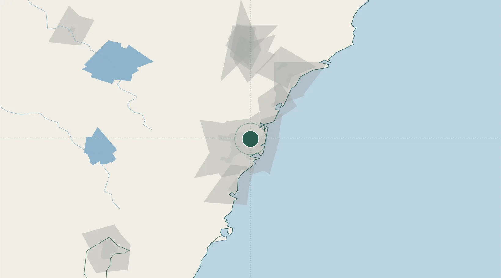
Nearby Logistics Neighbours

Cities
  1. 1Macquarie Park2 km
  2. 2West Pymble3 km
  3. 3Hornsby5 km
  4. 4Pennant Hills5 km
  5. 5Carlingford5 km
Nearest neighbours — logibook spatial index (haversine) over the source coordinates
Ports
  1. 1Sydney15 km
  2. 2Botany Bay29 km
  3. 3Port Kembla82 km
  4. 4Newcastle114 km
  5. 5Jervis Bay153 km
Nearest neighbours — logibook spatial index (haversine) over the source coordinates
Airports
  1. 1Sydney Bankstown Airport20 km
  2. 2Sydney Kingsford Smith International Airport21 km
  3. 3Palm Beach Seaplane Base29 km
  4. 4RAAF Base Richmond34 km
  5. 5Camden Airport49 km
Nearest neighbours — logibook spatial index (haversine) over the source coordinates
Trade Zones
  1. 1Latrobe Valley Economic Growth Zone653 km
  2. 2Hicks Bay Area Special Economic Zone2470 km
  3. 3Vanuatu Economic Development Zone2592 km
  4. 4Paga Hill Estate Special Economic Zone2730 km
  5. 5Tulagi Island Special Economic Zone2894 km
Nearest neighbours — logibook spatial index (haversine) over the source coordinates
DatabookThe Record of Consolidated Knowledge
Australia beyond logistics?
Browse databook

All Sources

LocationsUN/LOCODE
UN/LOCODE — free
LocationsGeoNames
CC BY 4.0
Portsthe NGA World Port Index
Public domain (US gov)
AirportsOurAirports
Public domain
Trade Zonesthe World Bank SEZ database
CC BY 4.0
Trade ZonesOpen Zone Map
CC BY
← Australia locations