UN/LOCODE hub · Australia
AUHOY

Hornsby

-33.7526°, 151.1479°
22,462
Population
2
Transport functions

Transport Functions

Rail
Road
UN/LOCODE

Hub Profile

Place type
Populated place
GeoNames
Region
New South Wales
GeoNames
Population
22,462
GeoNames
Time zone
Australia/Sydney
GeoNames
Elevation
186 m
GeoNames
Logistics facilities
1
UN/LOCODE

Location

Location of AUHOY
Natural Earth 10m (public domain) · New South Wales · AUHOY · -33.75, 151.15GoogleOSMYandex

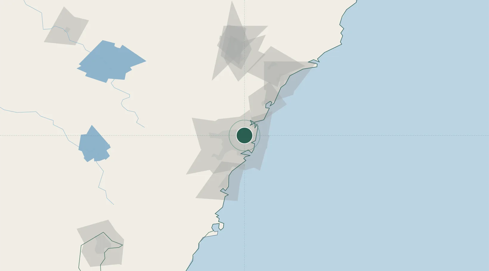
Nearby Logistics Neighbours

Cities
  1. 1West Pymble2 km
  2. 2Macquarie Park3 km
  3. 3Marsfield5 km
  4. 4Belrose7 km
  5. 5Pennant Hills8 km
Nearest neighbours — logibook spatial index (haversine) over the source coordinates
Ports
  1. 1Sydney14 km
  2. 2Botany Bay29 km
  3. 3Port Kembla84 km
  4. 4Newcastle110 km
  5. 5Jervis Bay155 km
Nearest neighbours — logibook spatial index (haversine) over the source coordinates
Airports
  1. 1Sydney Kingsford Smith International Airport22 km
  2. 2Sydney Bankstown Airport24 km
  3. 3Palm Beach Seaplane Base25 km
  4. 4RAAF Base Richmond38 km
  5. 5Camden Airport53 km
Nearest neighbours — logibook spatial index (haversine) over the source coordinates
Trade Zones
  1. 1Latrobe Valley Economic Growth Zone657 km
  2. 2Hicks Bay Area Special Economic Zone2466 km
  3. 3Vanuatu Economic Development Zone2588 km
  4. 4Paga Hill Estate Special Economic Zone2730 km
  5. 5Tulagi Island Special Economic Zone2891 km
Nearest neighbours — logibook spatial index (haversine) over the source coordinates
DatabookThe Record of Consolidated Knowledge
Australia beyond logistics?
Browse databook

All Sources

LocationsUN/LOCODE
UN/LOCODE — free
LocationsGeoNames
CC BY 4.0
Portsthe NGA World Port Index
Public domain (US gov)
AirportsOurAirports
Public domain
Trade Zonesthe World Bank SEZ database
CC BY 4.0
Trade ZonesOpen Zone Map
CC BY
← Australia locations