UN/LOCODE hub · Australia
AUBPR
Beaconsfield Upper
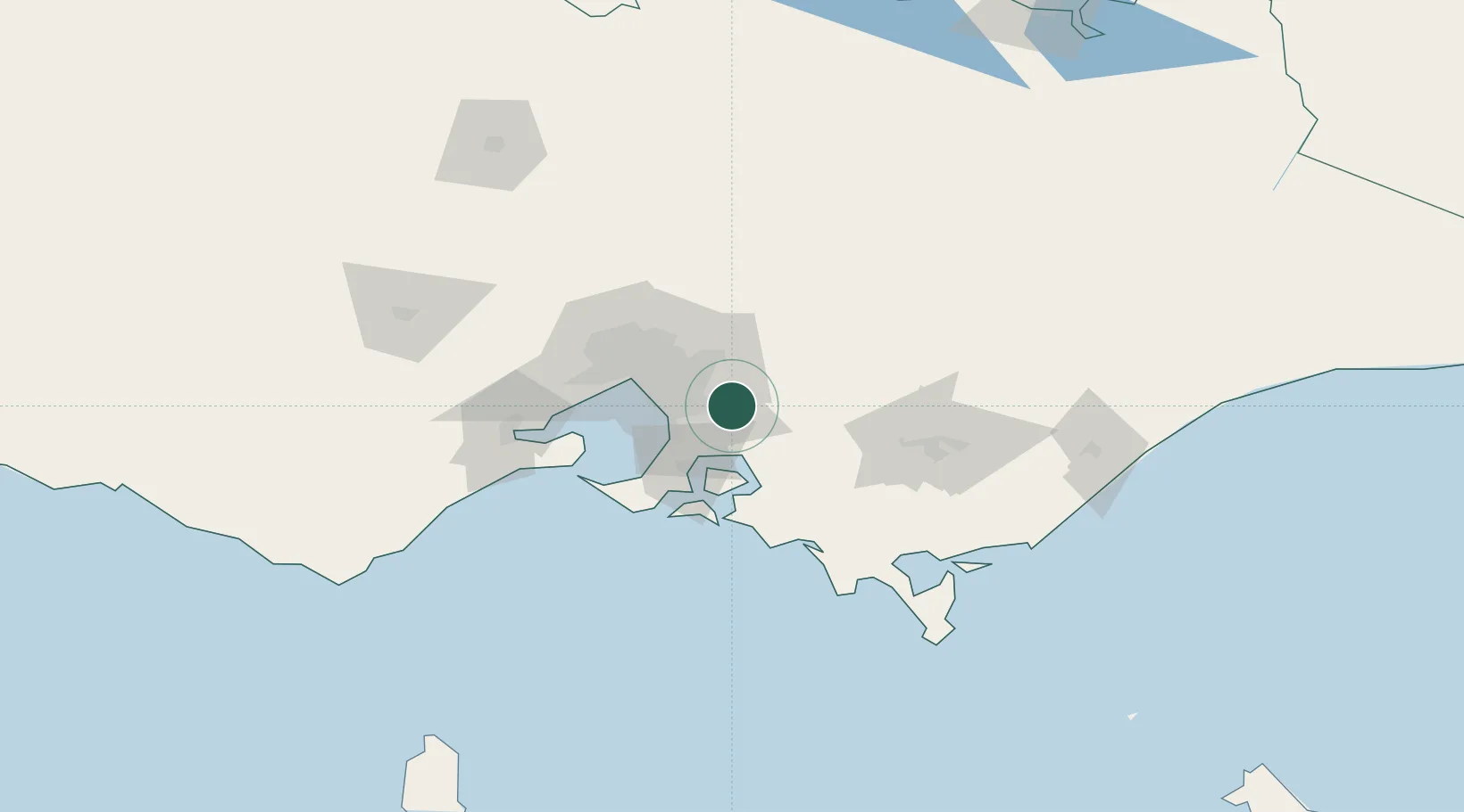
-38.0000°, 145.4167°
2,757
Population
1
Transport functions
Transport Functions
Multimodal
Hub Profile
Place type
Urban district
Region
Victoria
Population
2,757
Time zone
Australia/Melbourne
Elevation
208 m
Location
Nearby Logistics Neighbours
Cities
- 1Selby10 km
- 2Belgrave13 km
- 3Gembrook13 km
- 4Monbulk13 km
- 5Nar Nar Goon16 km
Ports
- 1Western Port42 km
- 2Melbourne44 km
- 3Geelong93 km
- 4Welshpool120 km
- 5Warrnambool260 km
Airports
Trade Zones
DatabookThe Record of Consolidated Knowledge
Australia beyond logistics?