UN/LOCODE hub · Australia
AUASQ

Asquith

-33.6833°, 151.1000°
3,347
Population
1
Transport functions

Transport Functions

Multimodal
UN/LOCODE

Hub Profile

Place type
Urban district
GeoNames
Region
New South Wales
GeoNames
Population
3,347
GeoNames
Time zone
Australia/Sydney
GeoNames
Elevation
163 m
GeoNames

Location

Location of AUASQ
Natural Earth 10m (public domain) · New South Wales · AUASQ · -33.68, 151.10GoogleOSMYandex

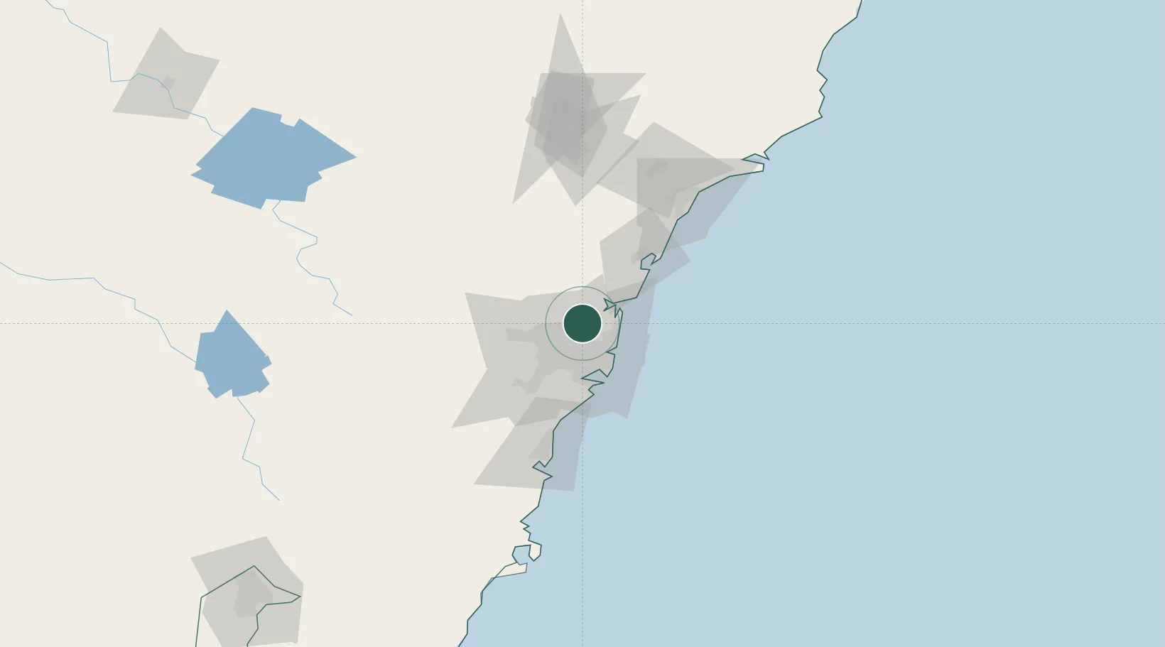
Nearby Logistics Neighbours

Cities
  1. 1Mount Kuring-Gai5 km
  2. 2Pennant Hills6 km
  3. 3Hornsby9 km
  4. 4Marsfield9 km
  5. 5Macquarie Park9 km
Nearest neighbours — logibook spatial index (haversine) over the source coordinates
Ports
  1. 1Sydney22 km
  2. 2Botany Bay37 km
  3. 3Port Kembla91 km
  4. 4Newcastle106 km
  5. 5Jervis Bay162 km
Nearest neighbours — logibook spatial index (haversine) over the source coordinates
Airports
  1. 1Palm Beach Seaplane Base23 km
  2. 2Sydney Bankstown Airport29 km
  3. 3Sydney Kingsford Smith International Airport30 km
  4. 4RAAF Base Richmond31 km
  5. 5Camden Airport55 km
Nearest neighbours — logibook spatial index (haversine) over the source coordinates
Trade Zones
  1. 1Latrobe Valley Economic Growth Zone660 km
  2. 2Hicks Bay Area Special Economic Zone2473 km
  3. 3Vanuatu Economic Development Zone2586 km
  4. 4Paga Hill Estate Special Economic Zone2721 km
  5. 5Tulagi Island Special Economic Zone2886 km
Nearest neighbours — logibook spatial index (haversine) over the source coordinates
DatabookThe Record of Consolidated Knowledge
Australia beyond logistics?
Browse databook

All Sources

LocationsUN/LOCODE
UN/LOCODE — free
LocationsGeoNames
CC BY 4.0
Portsthe NGA World Port Index
Public domain (US gov)
AirportsOurAirports
Public domain
Trade Zonesthe World Bank SEZ database
CC BY 4.0
Trade ZonesOpen Zone Map
CC BY
← Australia locations