UN/LOCODE hub · Australia
AULRI
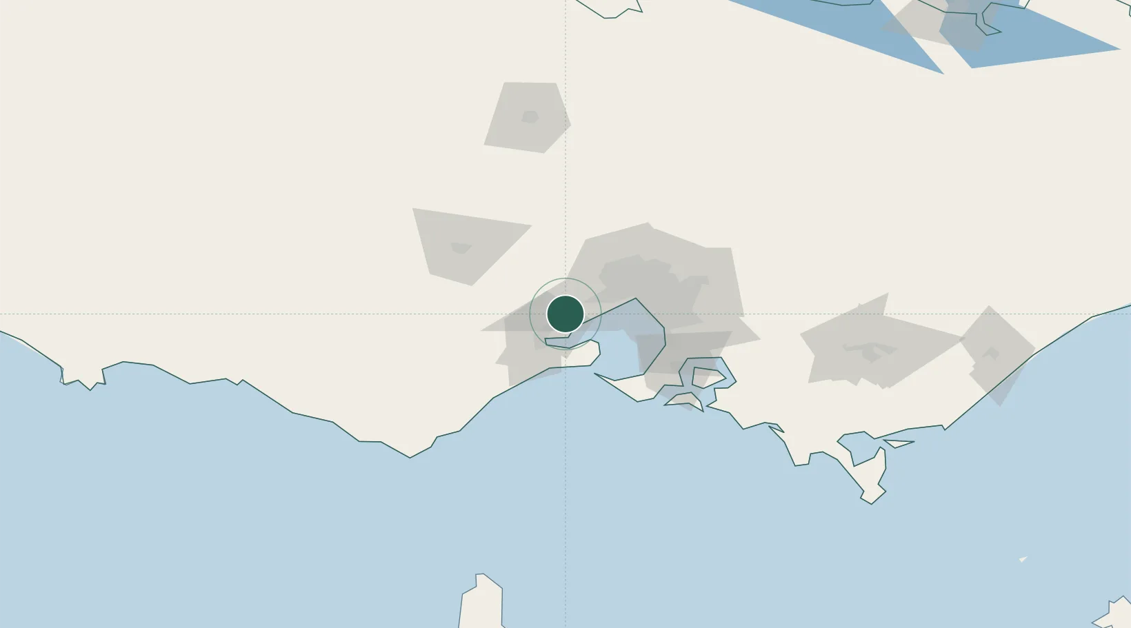
Little River
-37.9667°, 144.5000°
1,353
Population
2
Transport functions
Transport Functions
Rail
Road
Hub Profile
Place type
Urban district
Region
Victoria
Population
1,353
Time zone
Australia/Melbourne
Elevation
36 m
Location
Nearby Logistics Neighbours
Cities
- 1Werribee15 km
- 2Corio Bay18 km
- 3Point Henry Pier/Melbourne18 km
- 4Hoppers Crossing20 km
- 5North Geelong22 km
Ports
- 1Geelong24 km
- 2Melbourne44 km
- 3Western Port77 km
- 4Warrnambool183 km
- 5Welshpool190 km
Airports
Trade Zones
DatabookThe Record of Consolidated Knowledge
Australia beyond logistics?