UN/LOCODE hub · Australia
AUMCN
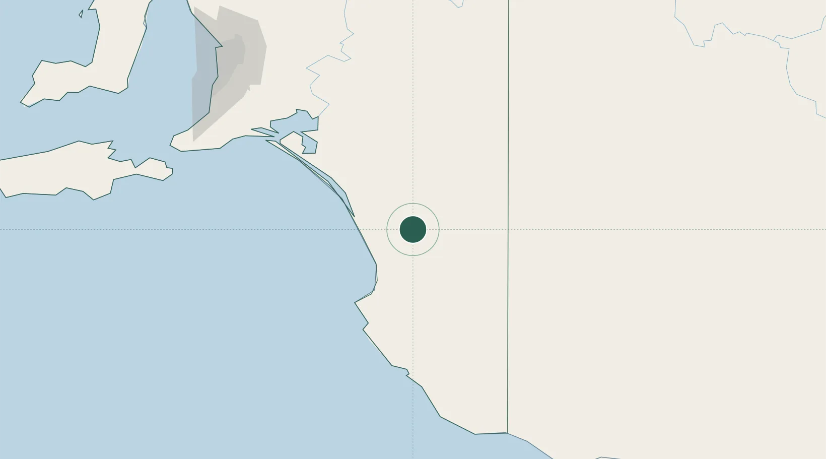
Monarto South
-36.3333°, 140.1667°
158
Population
1
Transport functions
Transport Functions
Multimodal
Hub Profile
Place type
Populated place
Region
South Australia
Population
158
Time zone
Australia/Adelaide
Elevation
116 m
Location
Nearby Logistics Neighbours
Cities
- 1Keith31 km
- 2Binnum86 km
- 3Robe102 km
- 4Coonawarra122 km
- 5Kensington Gardens131 km
Ports
- 1Port Adelaide223 km
- 2Kingscote241 km
- 3Portland256 km
- 4Port Giles261 km
- 5Klein Point265 km
Airports
- 1Mount Gambier Airport166 km
- 2Horsham Airport183 km
- 3Warracknabeal Airport202 km
- 4Hopetoun Airport209 km
- 5Adelaide International Airport213 km
Trade Zones
DatabookThe Record of Consolidated Knowledge
Australia beyond logistics?