Transport Functions
Port
Multimodal
Hub Profile
Place type
Populated place
Region
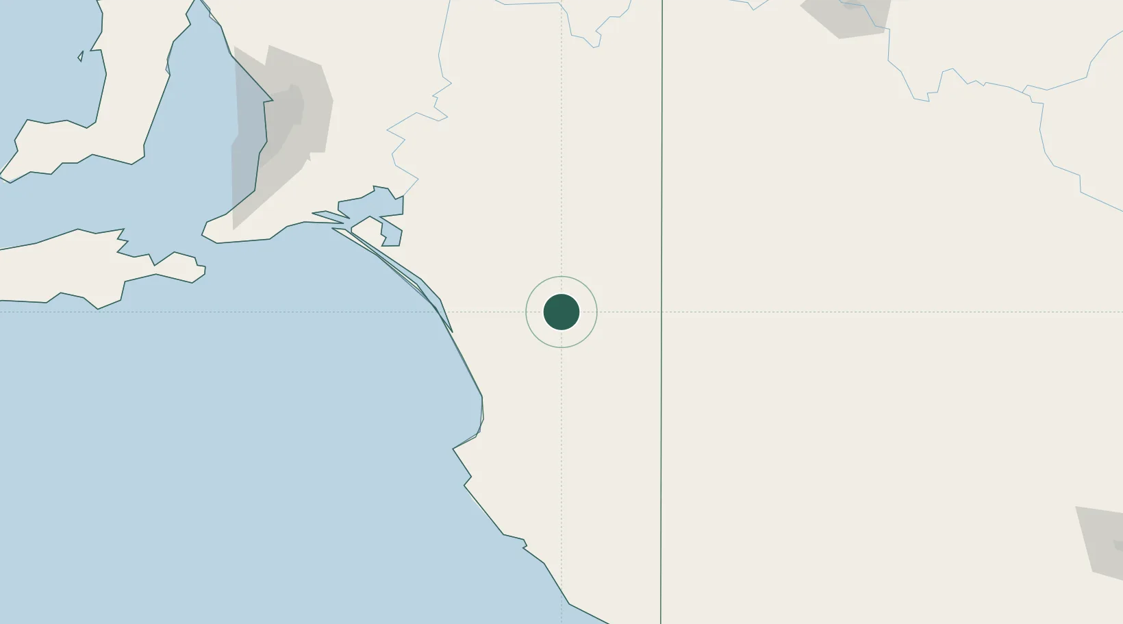
South Australia
Population
1,319
Time zone
Australia/Adelaide
Elevation
32 m
Location
Nearby Logistics Neighbours
Cities
- 1Monarto South31 km
- 2Binnum94 km
- 3Kensington Gardens129 km
- 4Langhorne Creek129 km
- 5Robe132 km
Ports
- 1Port Adelaide218 km
- 2Kingscote250 km
- 3Port Giles262 km
- 4Klein Point266 km
- 5Portland272 km
Airports
- 1Horsham Airport175 km
- 2Hopetoun Airport186 km
- 3Mount Gambier Airport187 km
- 4Warracknabeal Airport187 km
- 5Adelaide International Airport208 km
Trade Zones
DatabookThe Record of Consolidated Knowledge
Australia beyond logistics?