Transport Functions
Port
Multimodal
Hub Profile
Place type
Populated place
Region
South Australia
Population
129
Time zone
Australia/Adelaide
Elevation
63 m
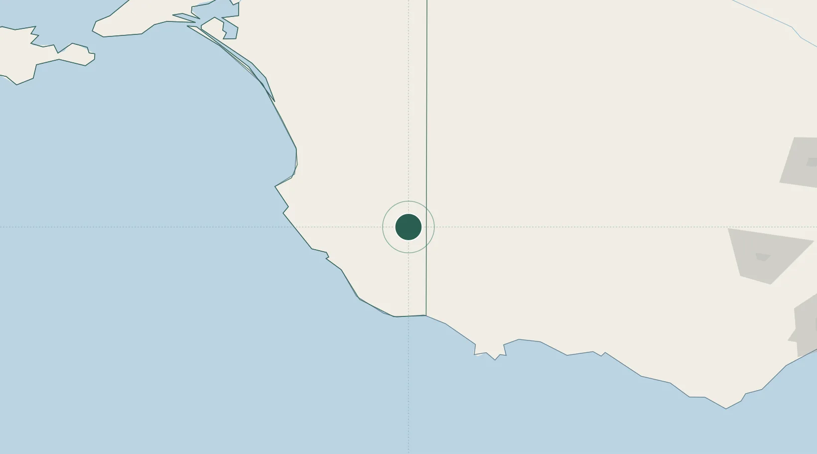
Location
Nearby Logistics Neighbours
Cities
- 1Binnum57 km
- 2Robe95 km
- 3Monarto South122 km
- 4Croxton129 km
- 5Keith140 km
Ports
- 1Portland134 km
- 2Warrnambool191 km
- 3Geelong326 km
- 4Kingscote340 km
- 5Port Adelaide343 km
Airports
- 1Mount Gambier Airport50 km
- 2Hamilton Airport117 km
- 3Portland Airport127 km
- 4Horsham Airport139 km
- 5Stawell Airport172 km
Trade Zones
DatabookThe Record of Consolidated Knowledge
Australia beyond logistics?