Transport Functions
Port
Hub Profile
Place type
Populated place
Region
South Australia
Population
1,096
Time zone
Australia/Adelaide
Elevation
4 m
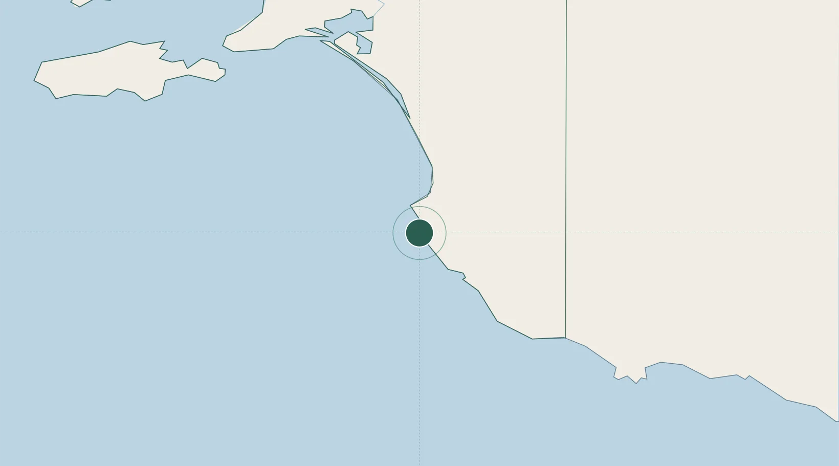
Location
Nearby Logistics Neighbours
Cities
- 1Coonawarra95 km
- 2Monarto South102 km
- 3Binnum113 km
- 4Keith132 km
- 5Reynella162 km
Ports
- 1Portland207 km
- 2Kingscote256 km
- 3Warrnambool276 km
- 4Port Adelaide283 km
- 5Port Giles298 km
Airports
- 1Mount Gambier Airport110 km
- 2Portland Airport197 km
- 3Hamilton Airport211 km
- 4Horsham Airport223 km
- 5Warracknabeal Airport256 km
Trade Zones
DatabookThe Record of Consolidated Knowledge
Australia beyond logistics?