Small airport · Australia

Milingimbi AirportYMGB
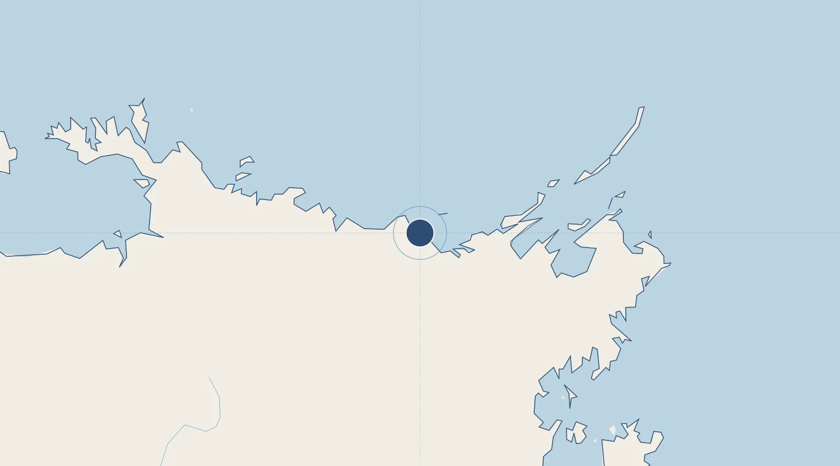
-12.0944°, 134.8940°
4,626 ft
Longest runway
1
Runways
53 ft
Elevation

Runway & Layout

Milingimbi Airport runway & taxiway layout
Runway & taxiway layout — OpenStreetMap (ODbL) / OurAirports

Radio Frequencies

CTAF
127.5 MHz
FSS
123.4 MHz
BRISBANE CNTR
OurAirports

Runways · 1

RunwayDimensions SurfaceTrue headingLit
11/29 4,626 × 60ft Permanent 116°
OurAirports

Airport Specifications

IATA code
MGT
OurAirports
ICAO code
YMGB
OurAirports
Airport class
Small airport
OurAirports
Scheduled service
Yes
OurAirports
Runway surface
Permanent
OurAirports
Served city
Milingimbi Island
OurAirports

Location

Location of YMGB
Natural Earth 10m (public domain) · Northern Territory · YMGB · -12.09, 134.89GoogleOSMYandex

Nearby Logistics Neighbours

Airports
  1. 1Ramingining Airport29 km
  2. 2Maningrida Airport72 km
  3. 3Elcho Island Airport74 km
  4. 4Lake Evella Airport109 km
  5. 5Gove Airport210 km
Nearest neighbours — logibook spatial index (haversine) over the source coordinates
Cities
  1. 1Dhipirrinjura27 km
  2. 2Langarra50 km
  3. 3Elizabeth Bay181 km
  4. 4Gove Harbour193 km
  5. 5Nhulunbuy206 km
Nearest neighbours — logibook spatial index (haversine) over the source coordinates
Ports
  1. 1Gove197 km
  2. 2Milner Bay257 km
  3. 3Darwin442 km
  4. 4Saumlaki603 km
  5. 5Merauke722 km
Nearest neighbours — logibook spatial index (haversine) over the source coordinates
Trade Zones
  1. 1Western Province Special Economic Zone811 km
  2. 2Atauro Special Economic Zone1104 km
  3. 3Sandaun Special Economic Zone1120 km
  4. 4Sepik Special Economic Zone1160 km
  5. 5Oecusse Ambeno Enclave Special Zone For Social Market Economy (Zeesm)1197 km
Nearest neighbours — logibook spatial index (haversine) over the source coordinates
DatabookThe Record of Consolidated Knowledge
Australia beyond logistics?
Browse databook

All Sources

AirportsOurAirports
Public domain
Portsthe NGA World Port Index
Public domain (US gov)
LocationsUN/LOCODE
UN/LOCODE — free
Trade Zonesthe World Bank SEZ database
CC BY 4.0
Trade ZonesOpen Zone Map
CC BY
InfrastructureOpenStreetMap
ODbL 1.0
← Australia airports