Small airport · Australia

Ramingining AirportYRNG
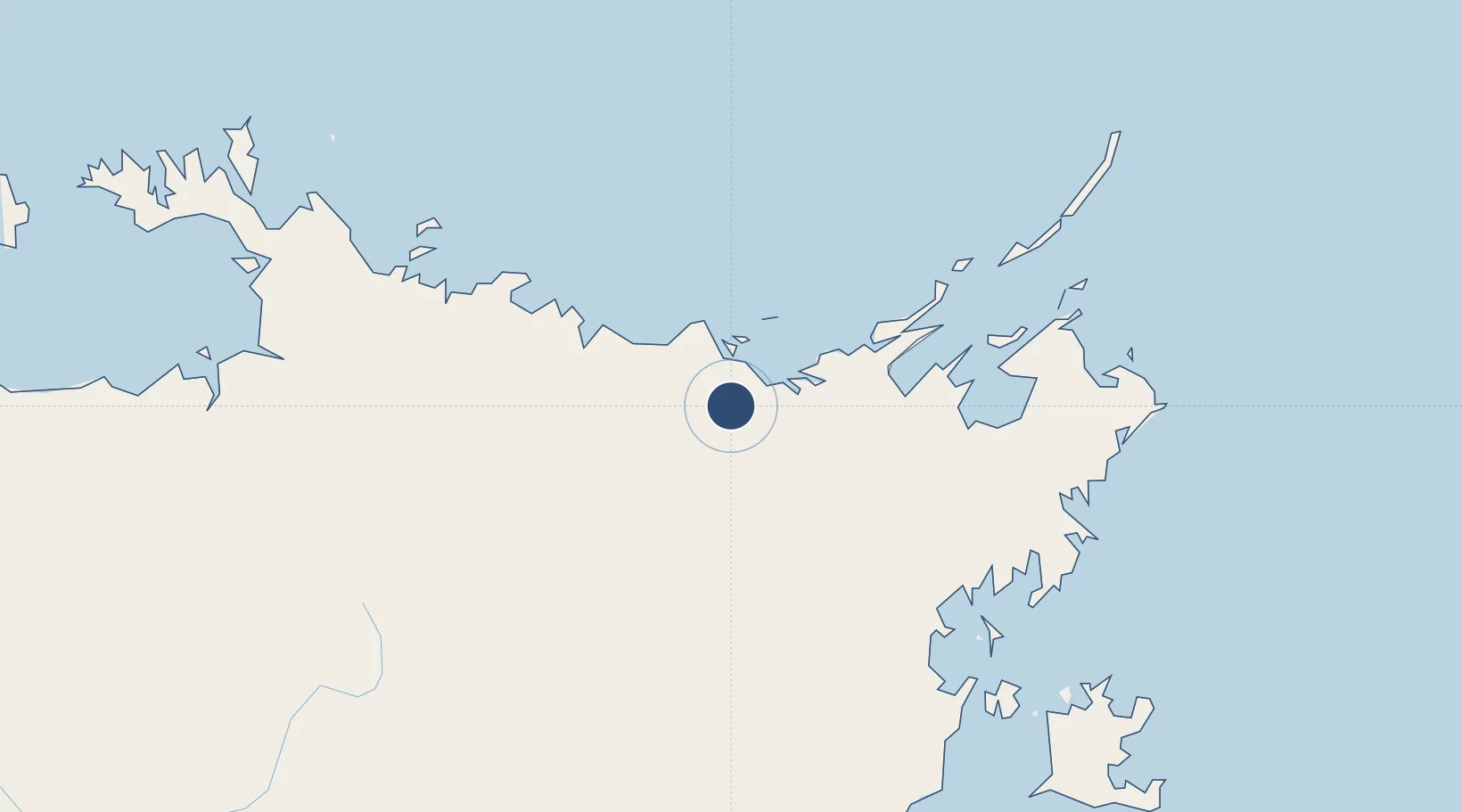
-12.3564°, 134.8980°
4,825 ft
Longest runway
1
Runways
206 ft
Elevation

Runway & Layout

Ramingining Airport runway & taxiway layout
Runway & taxiway layout — OpenStreetMap (ODbL) / OurAirports

Radio Frequencies

CTAF
126.7 MHz
FSS
123.4 MHz
BRISBANE CNTR
OurAirports

Runways · 1

RunwayDimensions SurfaceTrue headingLit
09/27 4,825 × 59ft Permanent 092°
OurAirports

Airport Specifications

IATA code
RAM
OurAirports
ICAO code
YRNG
OurAirports
Airport class
Small airport
OurAirports
Scheduled service
Yes
OurAirports
Runway surface
Permanent
OurAirports

Location

Location of YRNG
Natural Earth 10m (public domain) · Northern Territory · YRNG · -12.36, 134.90GoogleOSMYandex

Nearby Logistics Neighbours

Airports
  1. 1Milingimbi Airport29 km
  2. 2Maningrida Airport80 km
  3. 3Elcho Island Airport82 km
  4. 4Lake Evella Airport100 km
  5. 5Gove Airport209 km
Nearest neighbours — logibook spatial index (haversine) over the source coordinates
Cities
  1. 1Dhipirrinjura23 km
  2. 2Langarra58 km
  3. 3Elizabeth Bay187 km
  4. 4Gove Harbour193 km
  5. 5Nhulunbuy206 km
Nearest neighbours — logibook spatial index (haversine) over the source coordinates
Ports
  1. 1Gove197 km
  2. 2Milner Bay235 km
  3. 3Darwin440 km
  4. 4Saumlaki626 km
  5. 5Merauke738 km
Nearest neighbours — logibook spatial index (haversine) over the source coordinates
Trade Zones
  1. 1Western Province Special Economic Zone832 km
  2. 2Atauro Special Economic Zone1115 km
  3. 3Sandaun Special Economic Zone1143 km
  4. 4Sepik Special Economic Zone1182 km
  5. 5Oecusse Ambeno Enclave Special Zone For Social Market Economy (Zeesm)1205 km
Nearest neighbours — logibook spatial index (haversine) over the source coordinates
DatabookThe Record of Consolidated Knowledge
Australia beyond logistics?
Browse databook

All Sources

AirportsOurAirports
Public domain
Portsthe NGA World Port Index
Public domain (US gov)
LocationsUN/LOCODE
UN/LOCODE — free
Trade Zonesthe World Bank SEZ database
CC BY 4.0
Trade ZonesOpen Zone Map
CC BY
InfrastructureOpenStreetMap
ODbL 1.0
← Australia airports