Transport Functions
Port
Hub Profile
Place type
Populated place
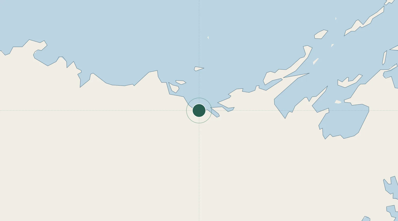
Region
Northern Territory
Time zone
Australia/Darwin
Elevation
16 m
Location
Nearby Logistics Neighbours
Cities
- 1Langarra34 km
- 2Elizabeth Bay164 km
- 3Gove Harbour172 km
- 4Nhulunbuy185 km
- 5Umbakumba257 km
Ports
- 1Gove176 km
- 2Milner Bay231 km
- 3Darwin461 km
- 4Saumlaki630 km
- 5Merauke715 km
Airports
- 1Ramingining Airport23 km
- 2Milingimbi Airport27 km
- 3Elcho Island Airport59 km
- 4Lake Evella Airport83 km
- 5Maningrida Airport95 km
Trade Zones
DatabookThe Record of Consolidated Knowledge
Australia beyond logistics?