Transport Functions
Multimodal
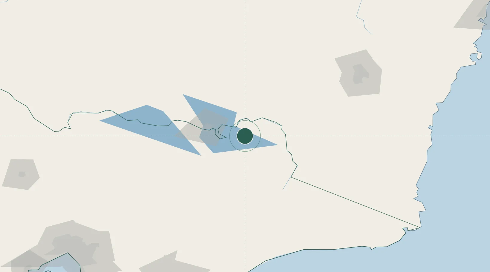
Hub Profile
Place type
Populated place
Region
Victoria
Population
283
Time zone
Australia/Melbourne
Elevation
124 m
Location
Nearby Logistics Neighbours
Cities
- 1Albury48 km
- 2Tumbarumba68 km
- 3Beechworth70 km
- 4Culcairn71 km
- 5Barnawartha73 km
Ports
- 1Eden239 km
- 2Batemans Bay249 km
- 3Melbourne287 km
- 4Welshpool292 km
- 5Western Port310 km
Airports
- 1Corryong Airport38 km
- 2Albury Airport48 km
- 3Mount Hotham Airport95 km
- 4Corowa Airport102 km
- 5Wangaratta Airport107 km
Trade Zones
DatabookThe Record of Consolidated Knowledge
Australia beyond logistics?