Transport Functions
Rail
Road
Hub Profile
Place type
Populated place
Region
New South Wales
Population
1,798
Time zone
Australia/Sydney
Elevation
646 m
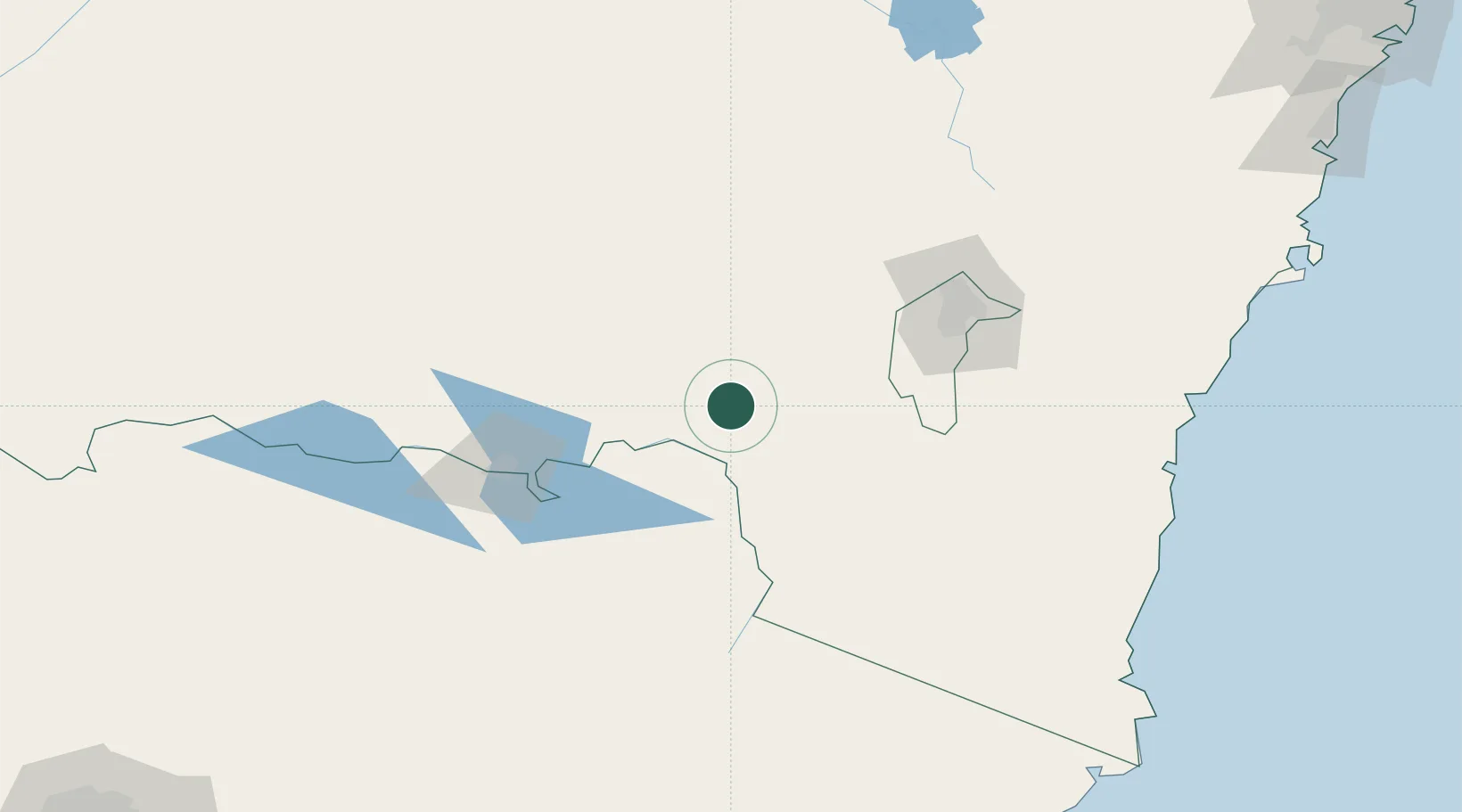
Location
Nearby Logistics Neighbours
Ports
- 1Batemans Bay194 km
- 2Eden222 km
- 3Jervis Bay263 km
- 4Port Kembla301 km
- 5Welshpool352 km
Airports
- 1Corryong Airport46 km
- 2Tumut Aerodrome61 km
- 3Wagga Wagga Airport85 km
- 4Albury Airport100 km
- 5Cooma Snowy Mountains Airport103 km
Trade Zones
DatabookThe Record of Consolidated Knowledge
Australia beyond logistics?