Transport Functions
Rail
Road
Hub Profile
Place type
Urban district
Region
New South Wales
Population
12,596
Time zone
Australia/Sydney
Elevation
28 m
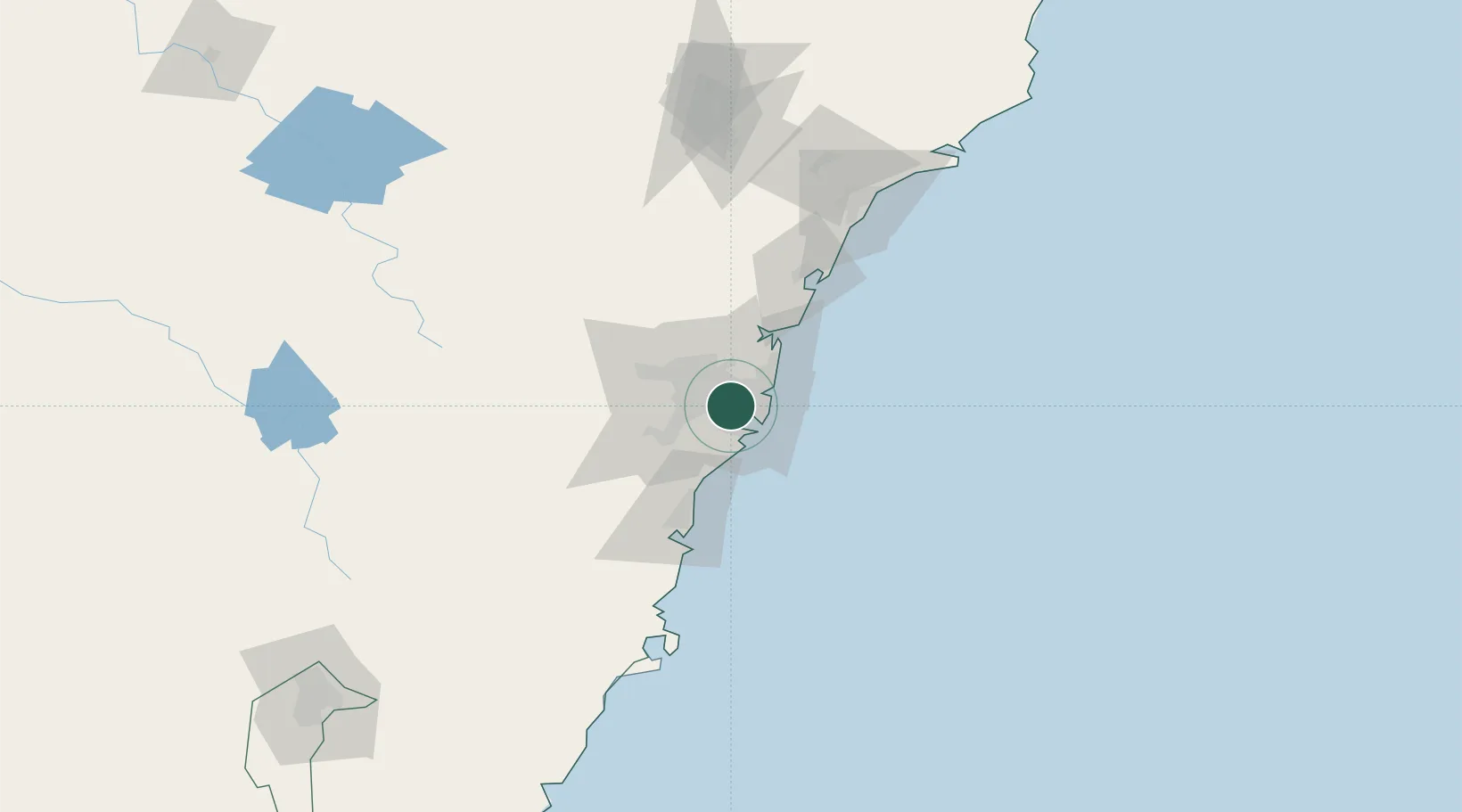
Location
Nearby Logistics Neighbours
Cities
- 1Lakemba2 km
- 2Roselands2 km
- 3Canterbury2 km
- 4Kingsgrove3 km
- 5Hurstville4 km
Ports
- 1Sydney11 km
- 2Botany Bay15 km
- 3Port Kembla65 km
- 4Newcastle128 km
- 5Jervis Bay136 km
Airports
Trade Zones
DatabookThe Record of Consolidated Knowledge
Australia beyond logistics?