UN/LOCODE hub · Australia
AULEN
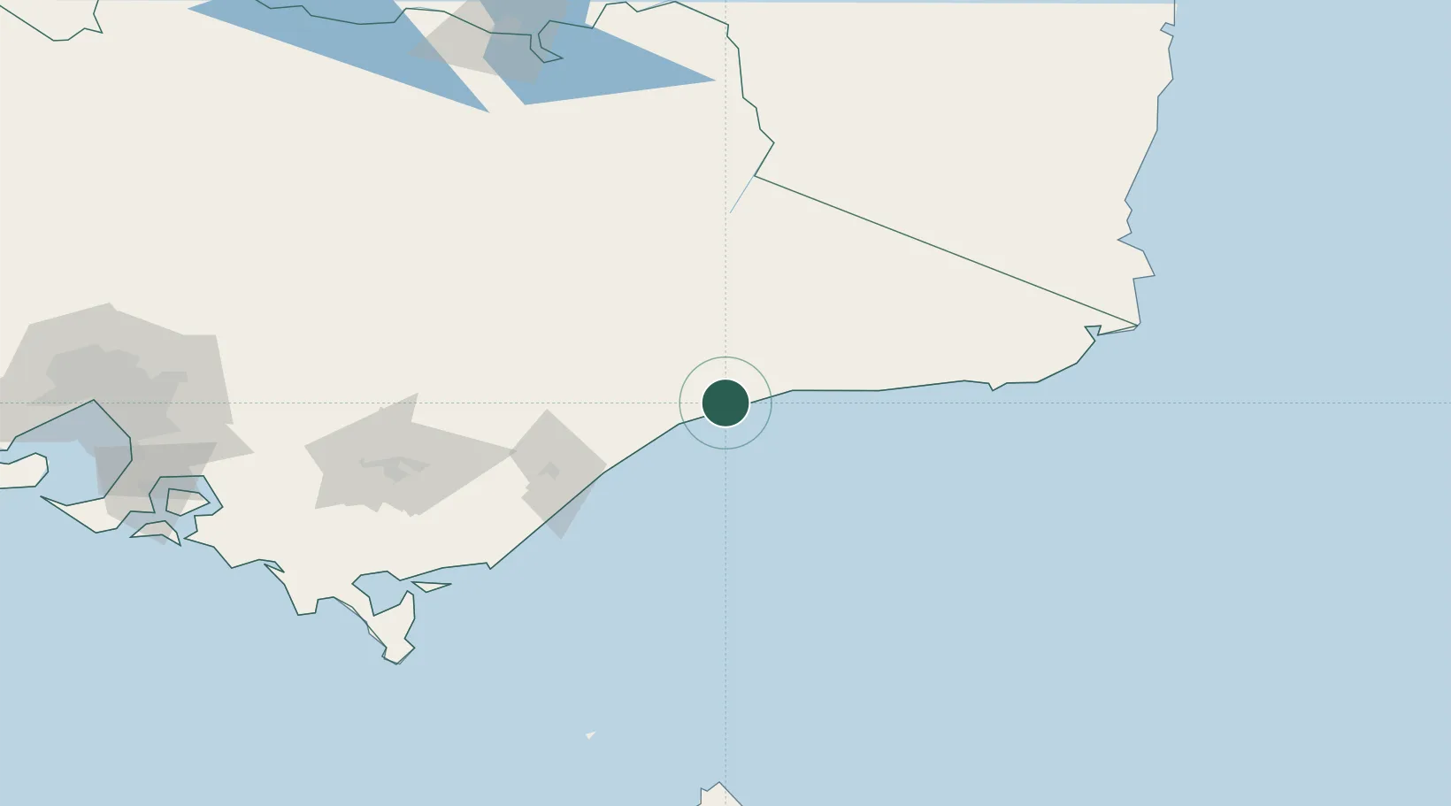
Lakes Entrance
-37.8833°, 147.9833°
4,850
Population
2
Transport functions
Transport Functions
Port
Road
Hub Profile
Place type
Populated place
Region
Victoria
Population
4,850
Time zone
Australia/Melbourne
Elevation
30 m
Location
Nearby Logistics Neighbours
Cities
- 1Hillside43 km
- 2Bushy Park83 km
- 3Flynn118 km
- 4Moe154 km
- 5Welshpool161 km
Ports
- 1Welshpool161 km
- 2Eden193 km
- 3Western Port246 km
- 4Melbourne265 km
- 5Batemans Bay311 km
Airports
- 1Bairnsdale Airport36 km
- 2RAAF Base East Sale77 km
- 3West Sale Airport92 km
- 4Mount Hotham Airport109 km
- 5Latrobe Valley Airport137 km
Trade Zones
DatabookThe Record of Consolidated Knowledge
Australia beyond logistics?