Transport Functions
Port
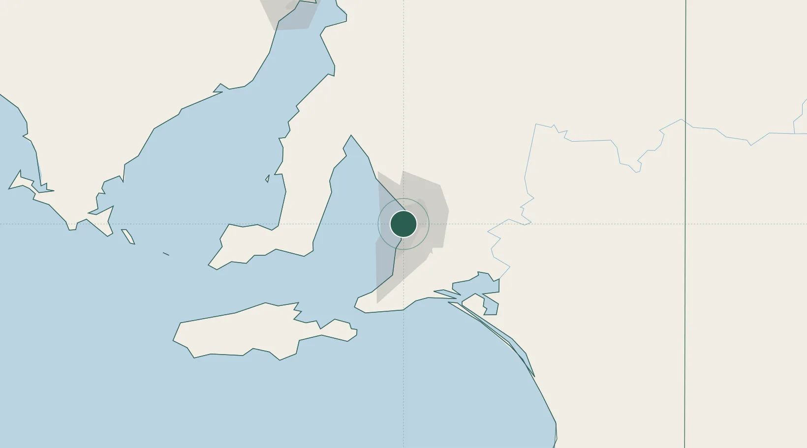
Hub Profile
Place type
Populated place
Region
South Australia
Population
848
Time zone
Australia/Adelaide
Elevation
20 m
Location
Nearby Logistics Neighbours
Cities
- 1Findon0 km
- 2Kidman Park2 km
- 3Beverley2 km
- 4Woodville2 km
- 5Cowandilla2 km
Ports
- 1Port Adelaide6 km
- 2Klein Point70 km
- 3Port Giles71 km
- 4Ardrossan77 km
- 5Kingscote115 km
Airports
- 1Adelaide International Airport5 km
- 2RAAF Base Edinburgh23 km
- 3Kingscote Airport129 km
- 4Port Pirie Airport191 km
- 5Renmark Airport211 km
DatabookThe Record of Consolidated Knowledge
Australia beyond logistics?