UN/LOCODE hub · Australia
AUBNG

Binalong

-34.6667°, 148.6333°
530
Population
2
Transport functions

Transport Functions

Rail
Road
UN/LOCODE

Hub Profile

Place type
Populated place
GeoNames
Region
New South Wales
GeoNames
Population
530
GeoNames
Time zone
Australia/Sydney
GeoNames
Elevation
478 m
GeoNames

Location

Location of AUBNG
Natural Earth 10m (public domain) · New South Wales · AUBNG · -34.67, 148.63GoogleOSMYandex

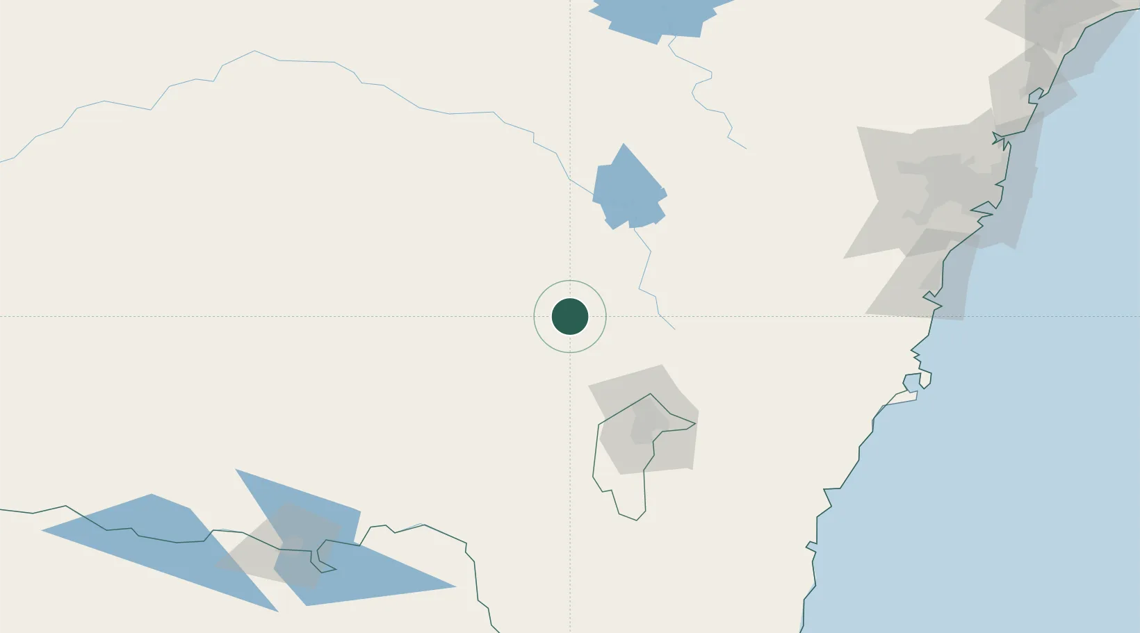
Nearby Logistics Neighbours

Cities
  1. 1Galong10 km
  2. 2Bowning20 km
  3. 3Harden26 km
  4. 4Yass31 km
  5. 5Wallendbeen45 km
Nearest neighbours — logibook spatial index (haversine) over the source coordinates
Ports
  1. 1Batemans Bay181 km
  2. 2Jervis Bay204 km
  3. 3Port Kembla210 km
  4. 4Botany Bay250 km
  5. 5Sydney252 km
Nearest neighbours — logibook spatial index (haversine) over the source coordinates
Airports
  1. 1Cootamundra Airport55 km
  2. 2Young Airport58 km
  3. 3Gundaroo Airport71 km
  4. 4Tumut Aerodrome76 km
  5. 5Canberra Airport88 km
Nearest neighbours — logibook spatial index (haversine) over the source coordinates
Trade Zones
  1. 1Latrobe Valley Economic Growth Zone445 km
  2. 2Hicks Bay Area Special Economic Zone2659 km
  3. 3Paga Hill Estate Special Economic Zone2804 km
  4. 4Vanuatu Economic Development Zone2822 km
  5. 5Ihu Special Economic Zone2995 km
Nearest neighbours — logibook spatial index (haversine) over the source coordinates
DatabookThe Record of Consolidated Knowledge
Australia beyond logistics?
Browse databook

All Sources

LocationsUN/LOCODE
UN/LOCODE — free
LocationsGeoNames
CC BY 4.0
Portsthe NGA World Port Index
Public domain (US gov)
AirportsOurAirports
Public domain
Trade Zonesthe World Bank SEZ database
CC BY 4.0
Trade ZonesOpen Zone Map
CC BY
← Australia locations