Transport Functions
Multimodal
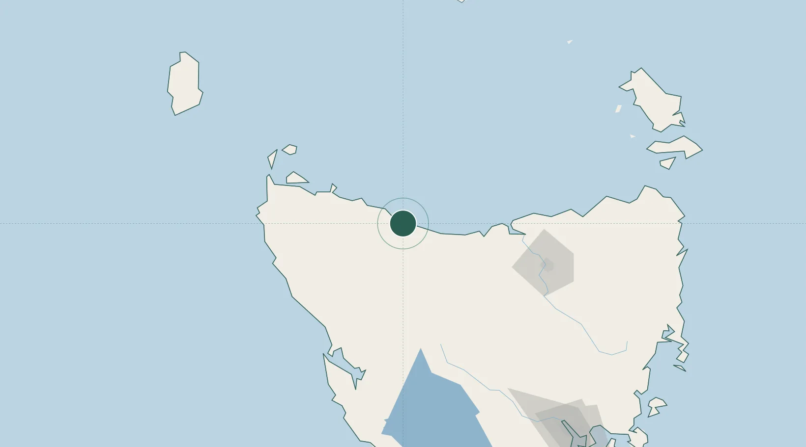
Hub Profile
Place type
Populated place
Region
Tasmania
Population
619
Time zone
Australia/Hobart
Elevation
41 m
Location
Nearby Logistics Neighbours
Ports
- 1Burnie6 km
- 2Devonport43 km
- 3Port Latta49 km
- 4Stanley61 km
- 5Beauty Point79 km
Airports
- 1Wynyard Airport15 km
- 2Devonport Airport47 km
- 3Smithton Airport72 km
- 4Launceston Airport123 km
- 5Flinders Island Airport209 km
Trade Zones
DatabookThe Record of Consolidated Knowledge
Australia beyond logistics?