UN/LOCODE hub · Australia
AUAKP
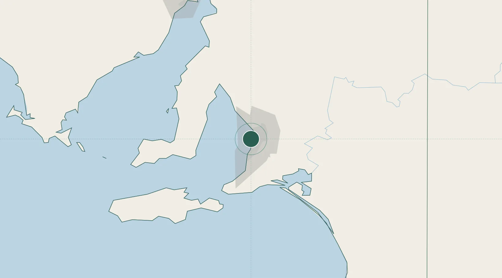
Kidman Park
-34.9000°, 138.5167°
3,313
Population
1
Transport functions
Transport Functions
Multimodal
Hub Profile
Place type
Urban district
Region
South Australia
Population
3,313
Time zone
Australia/Adelaide
Elevation
13 m
Location
Nearby Logistics Neighbours
Ports
- 1Port Adelaide6 km
- 2Klein Point69 km
- 3Port Giles70 km
- 4Ardrossan76 km
- 5Kingscote114 km
Airports
- 1Adelaide International Airport6 km
- 2RAAF Base Edinburgh23 km
- 3Kingscote Airport128 km
- 4Port Pirie Airport191 km
- 5Renmark Airport213 km
DatabookThe Record of Consolidated Knowledge
Australia beyond logistics?