UN/LOCODE hub · Australia
AUCSM
Castlemaine
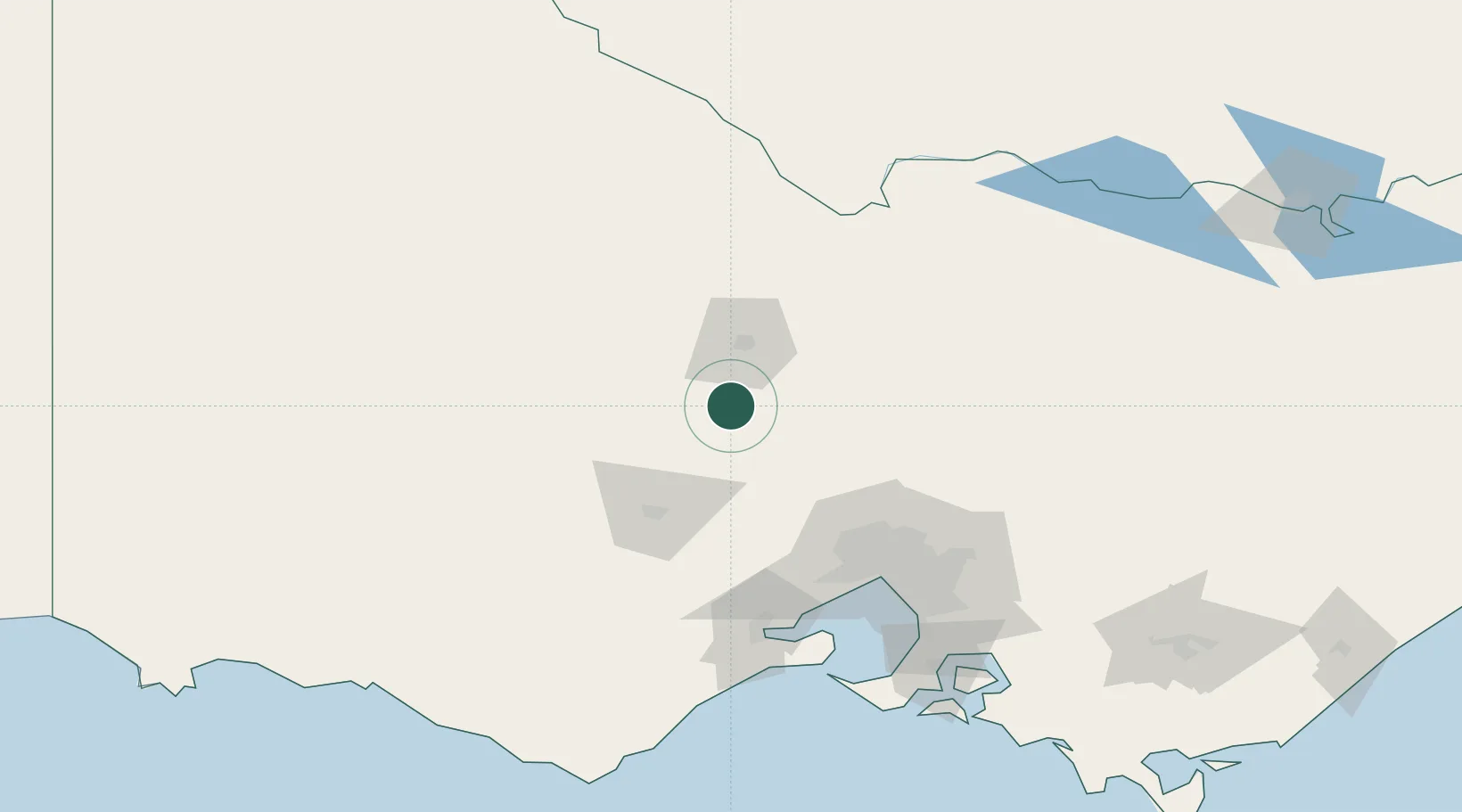
-37.0500°, 144.2167°
7,506
Population
2
Transport functions
Transport Functions
Rail
Road
Hub Profile
Place type
Populated place
Region
Victoria
Population
7,506
Time zone
Australia/Melbourne
Elevation
281 m
Location
Nearby Logistics Neighbours
Cities
- 1Lockwood25 km
- 2Heathcote47 km
- 3Tooborac55 km
- 4Bridgewater-on-Loddon55 km
- 5Gordon60 km
Ports
- 1Melbourne109 km
- 2Geelong123 km
- 3Western Port170 km
- 4Warrnambool214 km
- 5Welshpool270 km
Airports
- 1Bendigo Airport36 km
- 2Melbourne Airport88 km
- 3Melbourne Essendon Airport97 km
- 4Echuca Airport111 km
- 5Melbourne Avalon International Airport112 km
Trade Zones
DatabookThe Record of Consolidated Knowledge
Australia beyond logistics?