Transport Functions
Multimodal
Hub Profile
Place type
Populated place
Region
Victoria
Population
286
Time zone
Australia/Melbourne
Elevation
436 m
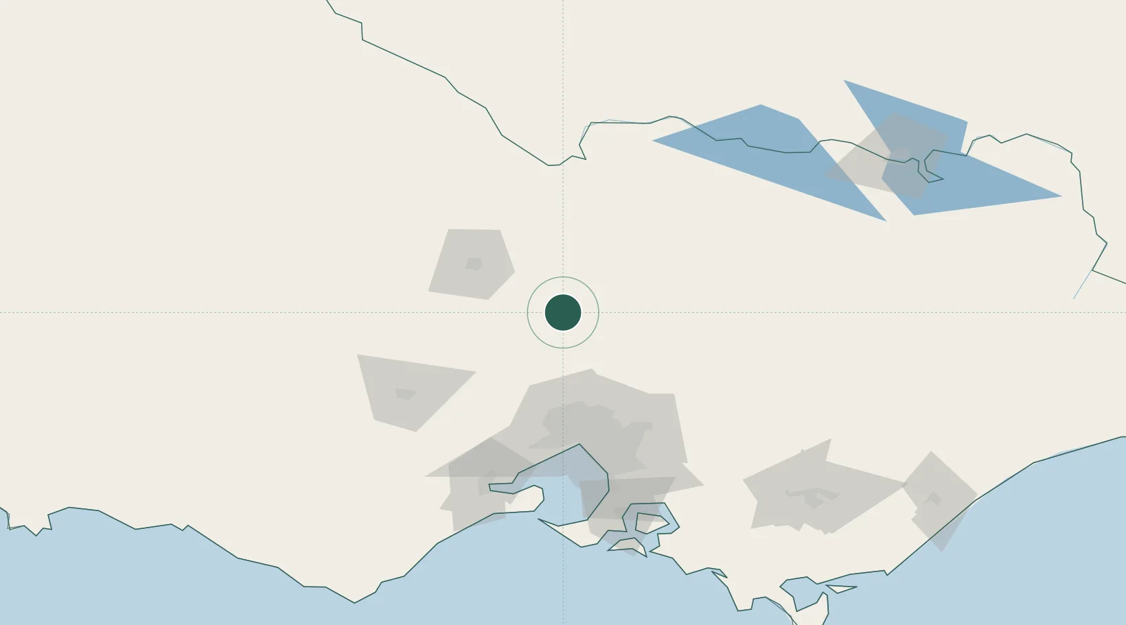
Location
Nearby Logistics Neighbours
Cities
- 1Heathcote18 km
- 2Broadford27 km
- 3Wallan43 km
- 4Colbinabbin50 km
- 5Castlemaine55 km
Ports
- 1Melbourne88 km
- 2Geelong129 km
- 3Western Port149 km
- 4Welshpool233 km
- 5Warrnambool255 km
Airports
- 1Bendigo Airport57 km
- 2Melbourne Airport69 km
- 3Melbourne Essendon Airport76 km
- 4Shepparton Airport85 km
- 5Echuca Airport100 km
Trade Zones
DatabookThe Record of Consolidated Knowledge
Australia beyond logistics?